Rota Vicentina | OUR STAGES
Here we provide information about our “personalized” Rota Vicentina stages that we hiked in 2019, which is basically the best combination of the Historical Way and the Fishermen’s Trail. Our route is 225 km long, spanning between Santiago do Cacém and Cabo de São Vicente, for a total of 12 stages.
Our Stages on the Rota Vicentina
We thru hiked the Rota Vicentina in 12 stages, elencated here below. You will find a short stage overview in terms of distance, elevation gain and loss. Additionally, we wrote down some important remarks for each stage and some memories for us to remember.
STAGE 1: Santiago do Cacém - Vale Seco
Distance: 18 km
Elevation Gain: 280 m
Elevation Loss: 300 m
Walking Time: 4h 30min
Refreshments: none until stage end
IMPORTANT REMARKS
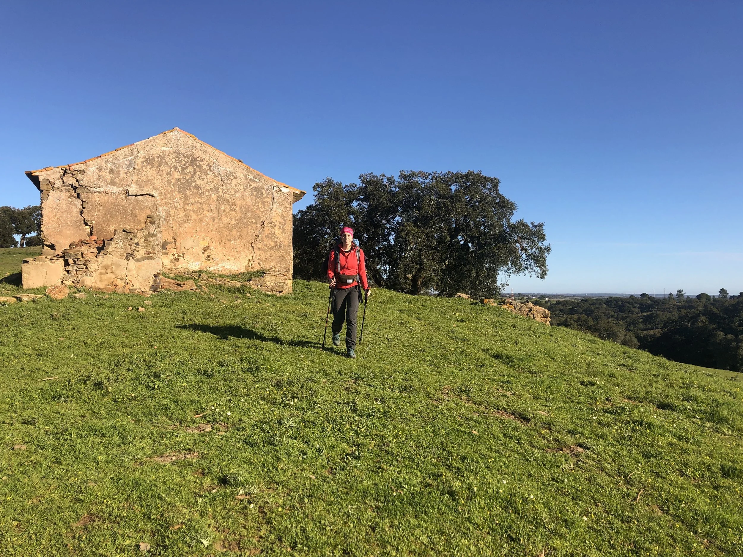
This first stage of the Rota Vicentina is part of the Historical Way and is therefore marked with white and red signs. It leads hikers across rural farmlands and cork oak woods, following easy paths. The stage ends in Vale Seco, where only few accommodation options are available: Casinhas da Aldeia, Moinhos do Paneiro, and an off-road option described in our post ACCOMMODATIONS.
MEMORIES
As we started hiking, we were suddenly surrounded by beautiful green nature and the sounds of roosters and barking dogs. I had just finished my school exams at home, and my mind finally felt free… this was exactly what I needed! We both really enjoyed this stage through the rural areas of Portugal’s Alentejo Region.
STAGE 2: Vale Seco - Cercal do Alentejo
Distance: 23 km
Elevation Gain: 160 m
Elevation Loss: 210 m
Walking Time: 5h 30min
Refreshments: Vale das Éguas
IMPORTANT REMARKS
This stage is still on the Historical Way, and is similar to the first stage in terms of terrain and landscapes.
MEMORIES
This stage reminded us of the Camino de Santiago, due to the vaste, flat and rural lands ahead of us. We also started learning a few short sentences in Portuguese and socialized with some locals in the evening, who offered us a round of “Ginja”, a typical Portuguese liquor.
STAGE 3: Cercal do Alentejo - Porto Covo
Distance: 18 km
Elevation Gain: 180 m
Elevation Loss: 290 m
Walking Time: 4h 30min
Refreshments: Pouca Farinha
IMPORTANT REMARKS
Still on the Historical Way, this is an exciting stage as it reaches the Atlantic Coast and ends in the charming fishing village of Porto Covo.
MEMORIES
Ahhh this was an amazing day! It was February, so we were used to super cold and grey weather at home, but here it felt like spring… flowers were blooming everywhere and their sweet fragrance was filling the air! We were also happy to reach the oceans’ coast, and excited to start walking on the Fishermen’s Trail the next day!
STAGE 4: Porto Covo - Vila Nova de Milfontes
Distance: 20 km
Elevation Gain: 160 m
Elevation Loss: 160 m
Walking Time: 5h
Refreshments: Forte da Ilha | Ponta das Barcas
IMPORTANT REMARKS
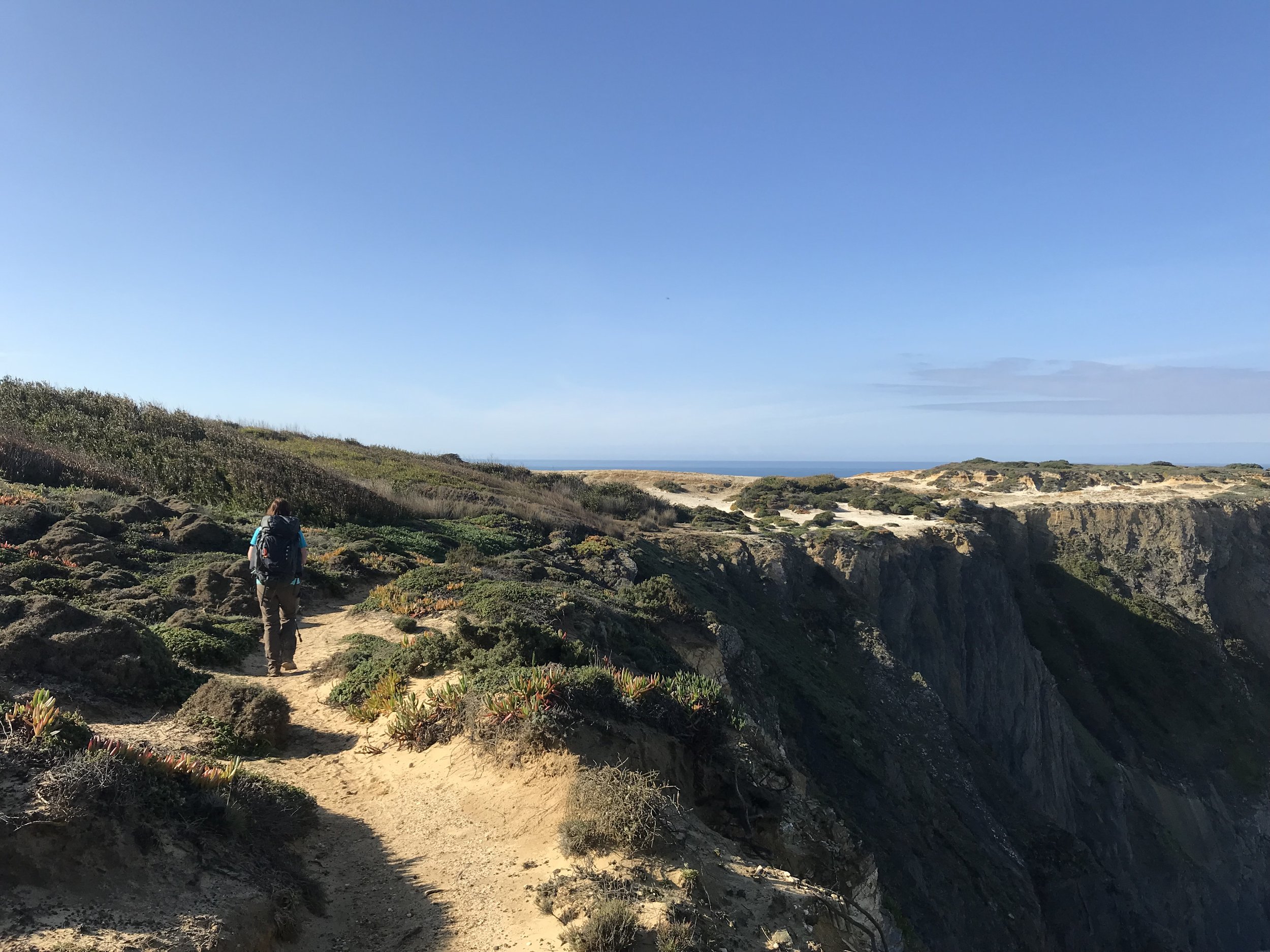
This stage is part of the Fishermen’s Trail and is therefore marked with blue and green signs. It is a spectacular stage, following the coast along dramatic cliffs and inviting beaches. It is not technically difficult, but sandy stretches will prove to be quite tiring and shadow is rare… remember to bring sun screen and enough water with you!
MEMORIES
Our first day on the Fishermen’s Trail was memorable! The landscapes kept getting better and better, as we walked along sandy beaches and impressive cliffs. We were also able to spot a storks nest on the top of a spire… little did we know that this was the first of many sightings!
STAGE 5: Vila Nova de Milfontes - Almograve
Distance: 15 km
Elevation Gain: 130 m
Elevation Loss: 150 m
Walking Time: 4h 30min
Refreshments: Praia das Furnas
IMPORTANT REMARKS
Still on the Fishermen’s Trail, the first part of this stage is not very interesting, as it goes inland along busy roads to cross the river Rio Mira. However, there is the possibility to skip this stretch and cross the river by boat taxi, from Vila Nova de Milfontes to Furnas, hence cutting approximately 1 hour walking. The rest of the stage along the coast is of course again spectacular!
MEMORIES
Our legs were getting stronger and we were getting used to the rhythm of a long distance hike…hike, eat, enjoy, sleep, repeat! We spotted many fishermen along this stage, and were mesmerized by their elegant moves, waving the long wire of their fishing pole first into the air and then into the ocean. Two of them were so friendly to show us their daily catch!
STAGE 6: Almograve - Zambujeira Do Mar
Distance: 22 km
Elevation Gain: 110 m
Elevation Loss: 100 m
Walking Time: 6h
Refreshments: Praia do Almograve | Cavaleiro | Entrada da Barca
IMPORTANT REMARKS
Still on the Fishermen’s Trail, this stage is yet again amazing, mainly due to the many dramatic cliffs and spires hosting stork nests.
MEMORIES
The lanscapes never stopped to amaze us… during this stage, we suddenly found ourselves walking on red sand and felt like main characters in DUNE, bravely crossing the desert of Arrakis!
STAGE 7: Zambujeira Do Mar - Odeceixe
Distance: 18 km
Elevation Gain: 280 m
Elevation Loss: 310 m
Walking Time: 5h
Refreshments: Praia do Carvalhal | Azenha do Mar
IMPORTANT REMARKS
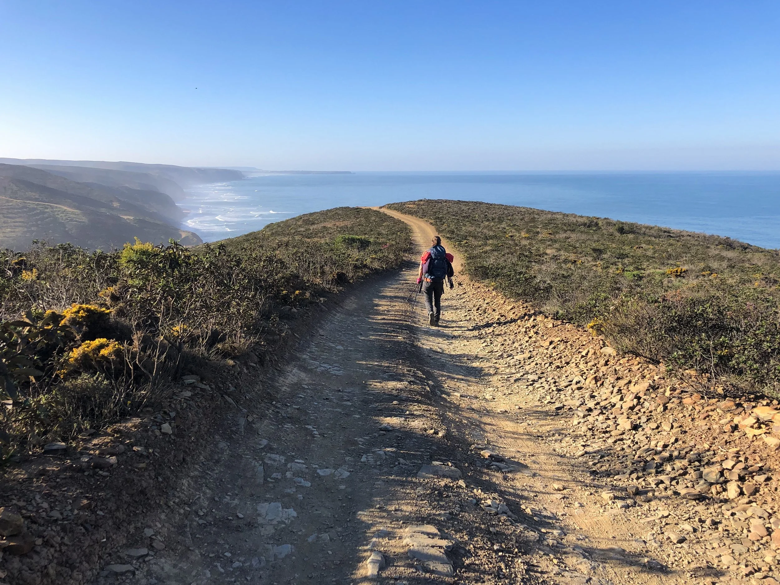
Still along the Fishermen’s Trail, you will remain close to the ocean for almost the whole stage, along cliffs and inviting sandy beaches, with a few ups and downs. Enjoy the spectacular scenery!
MEMORIES
In 2019, before the routes of the Rota Vicentina were updated, this stage was the last one of the Fishermen’s Trail… for us, it meant nostalgia… it meant saying goodbye to the amazing people met on this special trail. We therefore decided to enjoy the hike and a good paella at dinner together with friends met on the way!
STAGE 8: Odeceixe - Aljezur
Distance: 19 km
Elevation Gain: 100 m
Elevation Loss: 100 m
Walking Time: 5h 30min
Refreshments: Rogil
IMPORTANT REMARKS
This stage is part of the Historical Way and gives hikers a temporary break from the coast, as it crosses flatter rural inlands.
MEMORIES
We were back on the Historical Way and left the oceans’ coast for a short while, crossing rural areas once again. While walking this stage, we don’t know how, we don’t know why, but we screwed up big times… we got lost and had to check our maps of the Rota Vicentina to get back on trail. It was a funny desperate moment!
STAGE 9: Aljezur - Arrifana
Distance: 12 km
Elevation Gain: 170 m
Elevation Loss: 160 m
Walking Time: 3h
Refreshments: none until stage end
IMPORTANT REMARKS
Still along the Historical Way, this is a short stage that can either be enjoyed as such, or be combined with either the previous or the following stage. It runs through lovely hills and ends at the charming fishing harbour of Arrifana, populated with cafés and accommodations near a wonderful beach, popular amongst surfers.
MEMORIES
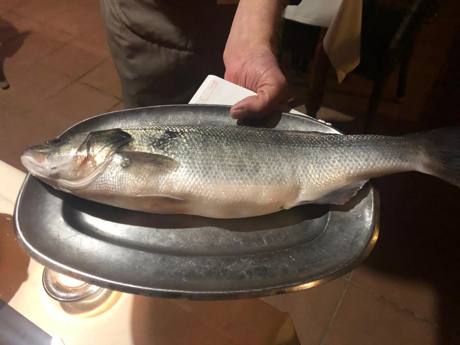
This was our shortest stage and we decided to take it easy… Arrifana was my favorite place so far, filled with surfers’ chill vibes! We also had the best dinner here, as we tasted amazing fish and percebes, a rare local seafood specialty… they are a bit tricky to eat at first, but definitely worth a try!
STAGE 10: Arrifana - Carrapateira
Distance: 24 km
Elevation Gain: 390 m
Elevation Loss: 480 m
Walking Time: 6h
Refreshments: Monte Novo | Bordeira
IMPORTANT REMARKS
Still along the Historical Way, this stage is quite long and tiring, with a few ups and downs. However, there are accommodation options along the way (at Monte Novo), allowing to shorten the day. The views are again spectacular, as the trail partly follows an ondulating path along the coast.
MEMORIES
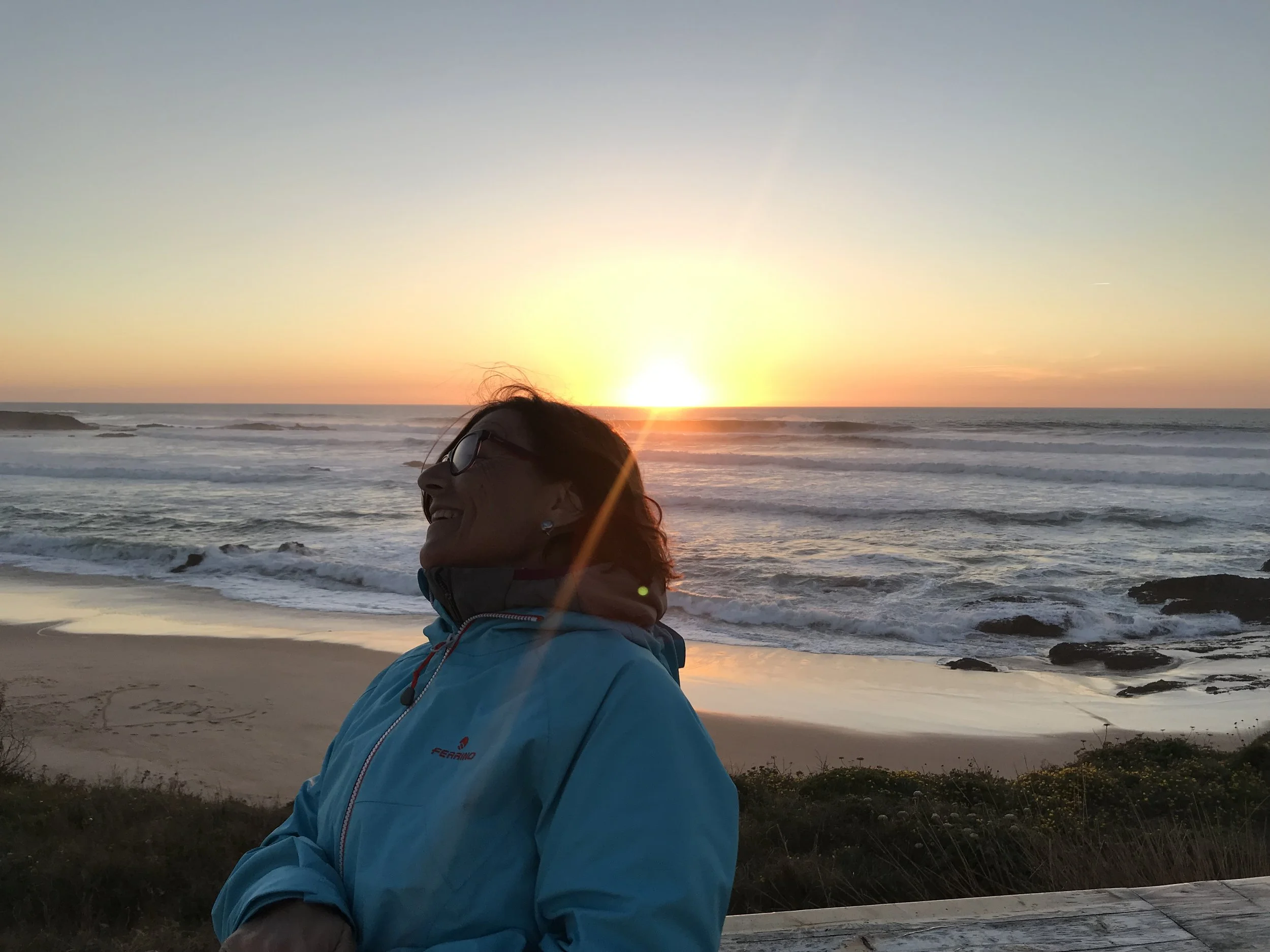
This was again another very scenic stage, with breathtaking views on the ocean. Once in Carrapateira, we followed the advice of our host and walked to the Praia do Amado to enjoy the sunset… it was spectacular! The red sky, the waves, the surfers… a paradise.
STAGE 11: Carrapateira - Vila do Bispo
Distance: 22 km
Elevation Gain: 290 m
Elevation Loss: 220 m
Walking Time: 5h 30min
Refreshments: Pedralva
IMPORTANT REMARKS
Still along the Historical Way, this stage runs inland, criss-crossing for a while the Ribeira Carrapateira. In normal weather conditions, it is easy to cross it while still keeping your shoes dry. However, after heavy rain, this river could potentially become dangerous to cross, and a “wet-weather variant” is recommended, described in the Variants section below. There is also the possibility to split this stage into two, by stopping at Pedralva.
MEMORIES
We crossed very green landscapes during this stage. The funniest memory was Gio’ slipping on a dirt road and trying to avoid an inevitable fall with frenetic and “super elegant” moves… I have it imprinted in my mind in slowmotion!
STAGE 12: Vila do Bispo - Cabo de São Vicente
Distance: 14 km
Elevation Gain: 80 m
Elevation Loss: 90 m
Walking Time: 3h 30min
Refreshments: none until stage end
IMPORTANT REMARKS
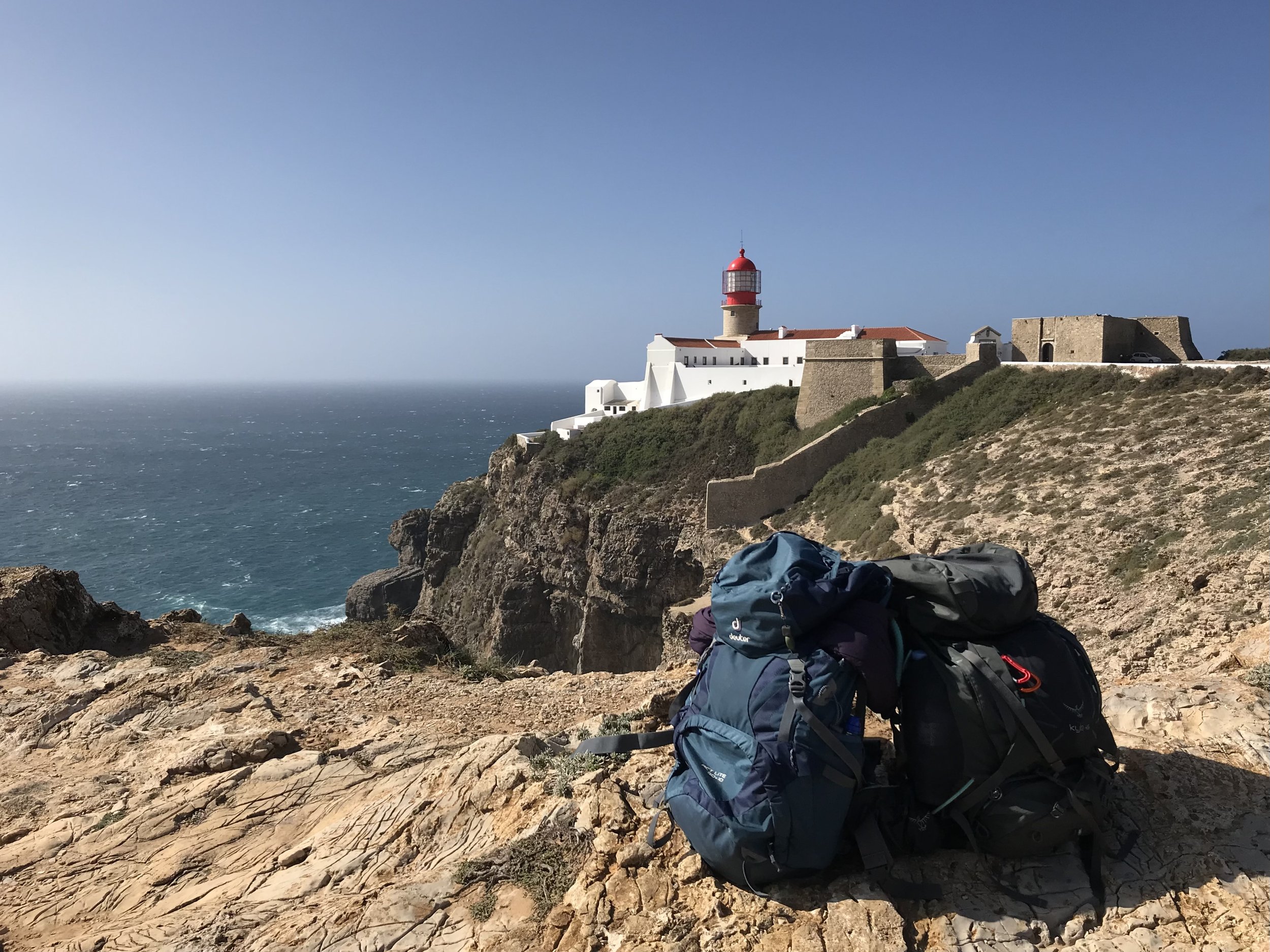
This last stage on the Historical Way ends at a breathtaking location: the lighthouse of Cabo de São Vicente. The official route runs inland and unfortunately includes a few sections along asphalt roads. However, there is a more scenic and recommended variant route along the coastline, which is now part of the newly developed Fishermen’s Trail! Since Cabo se São Vicente does not offer any accommodation, hikers need to proceed to Sagres, either by bus, taxi, or by foot along the “new” Fishermen’s Trail.
MEMORIES
Our last day on the Rota Vicentina hit us again with nostalgia… we walked the variant route along the coast and took so many pictures at the lighthouse of Cabo de São Vicente. The lighthouse was a magical place to conclude our adventure… an iconic symbol of the Rota Vicentina, the southwesternmost point of Portugal.
Walking Direction
The Rota Vicentina, as any other thru-hike, can be walked in both directions, starting either from Santiago do Cacém or from Cabo de São Vicente. Hikers usually choose to start their adventure from the North, in Santiago do Cacém, and walk towards the South, to Cabo de São Vicente, as indicated by most of the guides.
We also hiked North to South and we really liked how the landscapes were getting more and more dramatic along the way. Additionally, Cabo de São Vicente is a magical place to end this thru-hike!
Alternative Start Points
The Rota Vicentina is not a remote trail. Most of the villages along the way are connected by bus and could be used as alternative start or end points for your hiking adventure. The only places along the trail which are not served by public transports are: Vale Seco (end of stage no. 1) and Arrifana (end of stage no. 9).
We advise to check the timetables of buses on the Rede Expressos website and on Google Maps, and to consider catching a taxi in case there is no suitable connection for you.
Variants
There are a few variants worth mentioning along the Rota Vicentina. Some provide a more scenic route, others can be used in case of bad weather, and the latter allow for changing the course of the trail and hike into a loop.
SCENIC VARIANTS
Variants providing more scenic landscapes are present in the following stages:
Stage 9 (Aljezur - Arrifana): this variant route is met 1 hour after leaving Aljezur, and could be used for lengthening the rather short stage by 2 hours (7 km). It reaches the coast at Praia de Monte Clérigo, continues to the panoramic point of Ponta da Atalaia and comes back to Arrifana. It is marked with the Fishermen’s Trail signs (blue and green).
Stage 12 (Vila do Bispo - Cabo de São Vicente): this scenic variant along the coast is a great way to end the Rota Vicentina, as it provides great views of the ocean and of the lighthouse of Cabo de São Vicente, and avoids sections on asphalt. It is marked with the Fishermen’s Trail signs (blue and green) and is of the same length as the Historical Way route.
BAD WEATHER VARIANTS
This variant is only recommended in case of bad weather, as the stage includes the crossing of a river that could swell and become potentially dangerous after heavy rain fall.
Stage 11 (Carrapateira - Vila do Bispo): this short variant does not lengthen the stage and only avoids the crossing of the river.
LOOP VARIANTS
The following inland route (I.R.) running north, from Odeceixe (end of stage no. 7) to Cercal do Alentejo (end of stage no. 2) provides the opportunity to complete a loop instead of a linear thru-hike.
I.R. Stage 1: Odeceixe - São Teotónio (17 km, 4h 30min)
I.R. Stage 2: São Teotónio - Odemira (19 km, 5h)
I.R. Stage 3: Odemira - São Luis (25 km, 6h 30min)
I.R. Stage 4: São Luis - Cercal do Alentejo (20 km, 5h)
Trail Map and GPX File
Here you can find a map that I customized using AllTrails, showing an overview of our stages along the Rota Vicentina. In case the view of the map is not optimal, you can try to re-select the display mode. You can click on the first map title to head to the AllTrails website, where all the waypoints are described.
Additionally, here you can download the GPX file that we used on the trail.


