GR221 | OUR STAGES
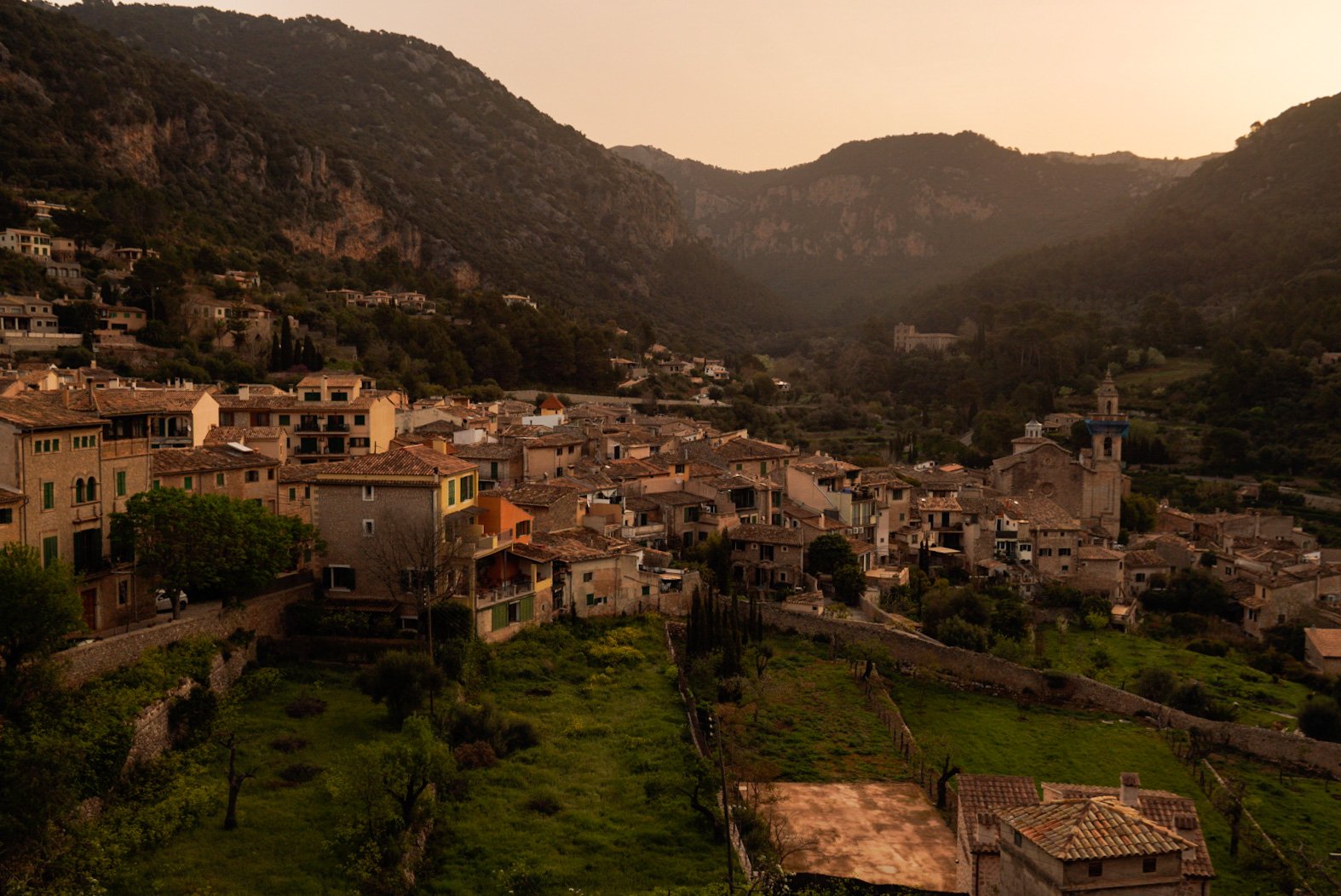
The GR221 spans between Port d’Andratx and Pollença, crossing many smaller and charming villages through Mallorca’s mountain range, called Sierra de Tramuntana.
On average, hikers usually take between 8 and 10 days to complete this trekking, depending on fitness level and pace.
Here you’ll find a description of the stages we hiked along the GR221. Since we strongly believe in the HYOH (Hike Your Own Hike) principle, we also provide more information about alternative start points, thru hike direction and possible variants along the trail.
Our GR221 Stages
We thru hiked the GR221 in 9 stages, elencated here below. You will find a short stage overview in terms of distance, elevation gain and loss. Additionally, we wrote down some important remarks for each stage and some memories for us to remember.
STAGE 1: Port d’Andratx - Ses Fontanelles
Distance: 21 km
Elevation Gain: 890 m
Elevation Loss: 610 m
Walking Time: 7h
IMPORTANT REMARKS
The first part of this stage, from Port d’Andratx to Sant Elm, is not waymarked but the trail is easy to follow. After Sant Elm, the path becomes steeper and rockier, reaching the monastery of La Trapa and allowing hikers to peek into the more rugged uplands of Mallorca. The Refugi at La Trapa is still under construction, so the only way to split this stage into two is by staying at Sant Elm.
MEMORIES
As we took our first steps on the GR221, we instantly fell in love with the reddish color of the rocks on the trail, the impressive cliffs and the views on the island of Sa Dragonera. We stopped for lunch at a bar in Sant Elm, and at the end of the day we slept at the charming Refugi Ses Fontanelles. I remember feeling quite cold during the first night on trail, as everything in the room felt wet due to the high humidity.
STAGE 2: Ses Fontanelles - Estellencs
Distance: 13 km
Elevation Gain: 600 m
Elevation Loss: 730 m
Walking Time: 4h
IMPORTANT REMARKS
A rocky climb towards Mola de s’Esclop awaits hikers after Ses Fontanelles, and the path is marked with sparse cairns only. The steep descent towards the village of Estellencs joins again waymarked paths towards the end of the stage.
MEMORIES
For a brief moment, we got lost during our ascent to Mola de s’Esclop and had to use our GPS devices to get back on the trail. On top of the climb, the views were stunning and we felt brave and strong as we had to fight against the wind.
STAGE 3: Estellencs - Esporles
Distance: 14 km
Elevation Gain: 660 m
Elevation Loss: 620 m
Walking Time: 4h 30min
IMPORTANT REMARKS
During this easy stage, the trail follows nicely paved and stony paths that contribute to the name of the GR221, “The Drystone Route“. The village of Banyalbufar, surrounded by cultivation terraces, is reached towards the half of the stage, allowing hikers to take a lunch break or even to split the stage into two.
MEMORIES
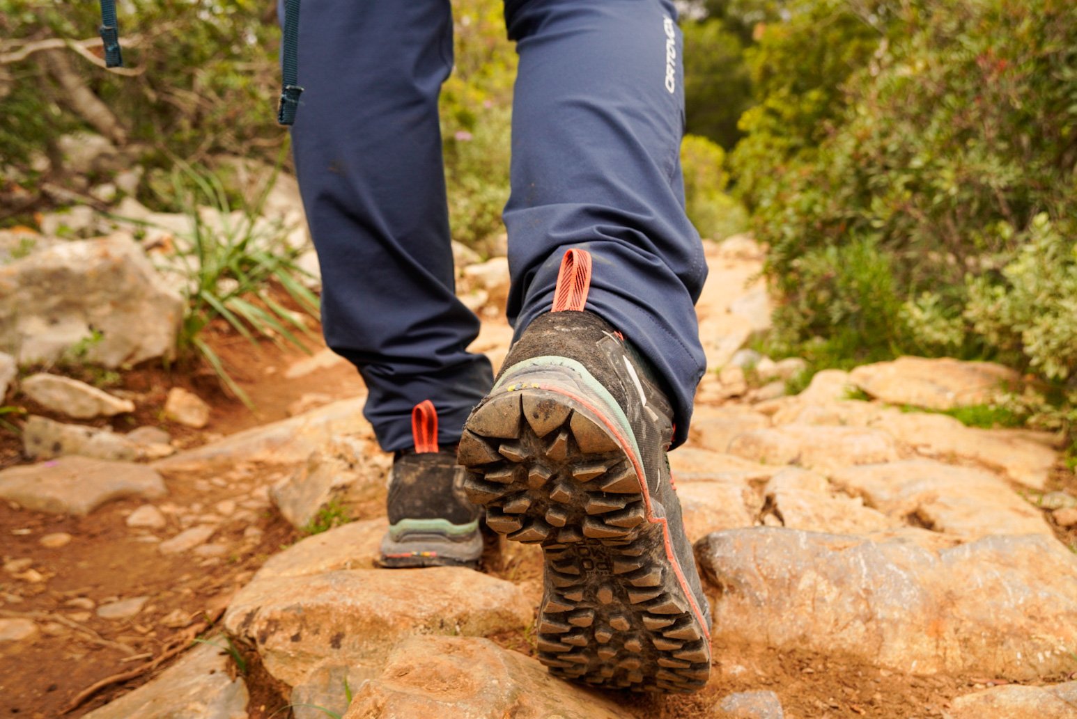
I remember telling my mom: “ahh finally we get to walk on the famous rocky roads of the GR221!“. Little did I know about the tiring effect of the stones for my feet…
STAGE 4: Esporles - Valldemossa
Distance: 10 km
Elevation Gain: 650 m
Elevation Loss: 440 m
Walking Time: 3h 30min
IMPORTANT REMARKS
This stage is not waymarked and signs forbidding access were placed in the woods of Mola de Son Pacs. No worries, the trail is anyway easy to follow.
MEMORIES
After this easy stage, we enjoyed the afternoon resting and exploring the charming little town of Valldemossa. We were slowly getting used to the hikers’ flow: hike, eat, sleep, repeat.
STAGE 5: Valldemossa - Deià
Distance: 14 km
Elevation Gain: 580 m
Elevation Loss: 870 m
Walking Time: 4h 30min
IMPORTANT REMARKS
The stage is not signposted yet, but the path is easy to follow.
MEMORIES
This was our favorite stage of the GR221, as the mountainous landscapes of the Sierra de Tramuntana were stunning!
STAGE 6: Deià - Port de Sòller
Distance: 13 km
Elevation Gain: 320 m
Elevation Loss: 470 m
Walking Time: 4h
IMPORTANT REMARKS
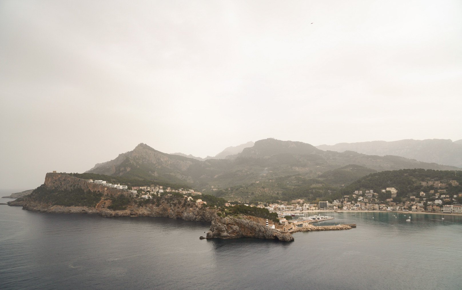
This stage is fully waymarked and easy to follow on stony roads. The Refugi de Muleta is close do Port de Soller, but lies outside of the GR221 path. From Port de Soller, the town of Soller can be reached either by foot along the GR221, by bus, by taxi, or with a vintage touristic tram.
MEMORIES
We enjoyed nice long breaks along this easy stage. We stopped for a lunch-with-a-view at the Finca Son Mico, where we tasted amazing omelettes. Additionally, we stopped at a friendly locals’ Finca right on the side of the trail, where we were offered a refreshing orange juice. We were curious to have a look at the Refugi de Muleta, lying on a spur above Port de Soller, so we stopped for another coffee break in the company of new trail friends. As we didn’t want to stop at the busy town of Soller, the biggest on the GR221, we decided to stay at Port de Soller instead, and we didn’t regret this decision.
STAGE 7: Sòller - Tossals Verds
Distance: 20.5 km or 18 km (variant)
Elevation Gain: 1180 m or 1000 m (variant)
Elevation Loss: 680 m or 500 m (variant)
Walking Time: 6h 30min or 6h (variant)
IMPORTANT REMARKS
This is one of the toughest stages on the GR221, with a long stony zigzag ascent through the canyon-like Barranc the Biniaraix that feels neverending. After passing the reservoir of the Embassament de Cùber, there is the possibility to follow a higher Variant Route, which saves some walking time but is much steeper and rugged than the official path, and also includes a scrambling section. The Refugi de Tossals Verds is the only available accommodation at the end of this stage.
MEMORIES
In the morning we reached by taxi the town of Biniaraix, just above Soller, and started hiking this stage with worried smiles… the weather forecasts announced cold winds, rain and stormes.
This was definitely a day to remember! As we arrived at the Embassement de Cùber, we were already soaking wet and felt so cold that the remote possibility of stopping for a break, for drinking some water, taking pictures or even peeing suddenly vanished… we walked the entire stage without stopping for a single minute, keeping our faces pointed to the ground in the desperate attempt to avoid the pouring rain. Moreover, our hands were so cold and it was difficult to zoom into the maps on our GPS devices. I am so happy I was hiking with my mom, as she is the strongest person I know, and she kept encouraging me to keep walking and not to stop!
As we finally arrived at Tossals Verds, the athmosphere was also quite special. Everyone was taking off the clothes in the living room, trying to secure the best spot in front of the fireplace to dry them… it was a funny situation, we were all so cold, wet, tired and desperate that the room was suddenly full of crazy loughing hikers. Strong trail friendships were bonded by sharing this out-of-the-world experience and a warm meal next to the fireplace.
In the evening, everyone gathered at the tables and we all planned together an alternative stage to Lluc for the next day, as the weather forcast didn’t seem to get any better.
STAGE 8: Tossals Verds - Lluc
Distance: 14 km
Elevation Gain: 830 m
Elevation Loss: 870 m
Walking Time: 6h
IMPORTANT REMARKS
This is the toughest and one of the most scenic stages along the GR221, as the stony and rough path leads hikers up into high and rugged mountains. There are no facilities along this stage, except for those at the start (Tossals Verds) and at the end (Santuari de Lluc, which provides comfortable accommodations in former monastic cells).
MEMORIES
Since we wanted to avoid hiking into the mountains with heavy rain and cold temperatures as the previous day, we planned an alternative route together with fellow hikers staying at Tossals Verds. You can find this alternative stage in the Trail Map and GPX File section below. The path was easier than the official stage and remained within the forests at lower altitudes, following the Canaleta de Massanella for a while, an aqueduct running above some scenic stone arches on a cliff. We really enjoyed this “social“ day, as all the hikers formed small groups to share this stage… it was nice to chitchat and get to know each other while hiking in the forest.
At the end of the stage, we had a lovely dinner at the restaurant of the Santuari, sharing wine and collecting special memories with our new trail friends.
STAGE 9: Lluc - Pollença
Distance: 19.5 km
Elevation Gain: 330 m
Elevation Loss: 760 m
Walking Time: 6h
IMPORTANT REMARKS
The final stage of the GR221 is long but gentle, mostly flat and downhill.
MEMORIES
Along this stage, we found ourselves hiking into the magical beauty of a forest covered with green moss, and took the chance for a break surrounded by a mystical silence.
As we arrived in Pollença, we directly headed to the hilltop chapel of the Església del Calvari, and walked down the iconic 365 stone steps towards the centre of the town. We then enjoyed a cold beer at the foot of the Calvari steps, before waving goodbye to our trail friends and catching a taxi to Port de Pollença.
Walking Direction
The GR221, as any other thru hike, can be walked in both directions, starting either from Port d’Andratx or from Pollença. Hikers usually choose to start their adventure from the South, in Port d’Andratx, and walk towards the North, to Pollença, as indicated by most of the guides.
Variants
Hikers can start or end their adventure in most of the towns along the GR221, since they are served by public transports. However, some towns that were not mentioned in the section Our GR221 Stages can also be used as alternative points to join or leave the trail.
S’ ARRACÒ - Ses Fontanelles
Distance: 11.5 km
Elevation Gain: 440 m
Elevation Loss: 230 m
Walking Time: 3h 30min
The town of S’Arracò can be used as alternative point to reach the Refugi Ses Fontanelles, therefore replacing the official Stage 1 of the GR221. This variant route is fully waymarked and shorter than the official one.
ES CAPDELLÀ - Estellencs
Distance: 16 km
Elevation Gain: 580 m
Elevation Loss: 560 m
Walking Time: 5h
The town of Es Capdellà can be used as alternative point to reach the town of Estellencs, therefore replacing the official Stage 2 of the GR221.
Sòller - CALA TUENT
Distance: 17 km
Elevation Gain: 700 m
Elevation Loss: 730 m
Walking Time: 5h
From Sòller, hikers who don’t have time to complete the entire GR221 can hike to Cala Tuent as an alternative and quite scenic end point, therefore replacing the official Stage 7. However, Cala Tuent is not served by public transports, except for ferries linking Cala Tuent to Port de Soller. Be sure to check in advance the ferries timetables, if you don’t want to catch an expensive taxi.
Tossals Verds - ORIENT
Distance: 18 km
Elevation Gain: 690 m
Elevation Loss: 750 m
Walking Time: 6h
From the Refugi de Tossals Verds, hikers who don’t have time to complete the entire GR221 can hike to the charming village of Orient as an alternative and adventurous last stage, therefore replacing the official Stage 8. This stage could be also split into two by spending a night on the top of the Puig d’Alarò, at the Hosteria del Puig d’Alarò.
Lluc - CAIMARI
Distance: 9 km
Elevation Gain: 210 m
Elevation Loss: 520 m
Walking Time: 2h 15min
From the Santuari de Lluc, this alternative stage along the GR222 offers a shorter option for finishing the GR221, therefore replacing the official Stage 9.
Pollença - PORT DE POLLENÇA
Distance: 7 km
Elevation Gain: 0 m
Elevation Loss: 60 m
Walking Time: 2h
Some hikers decide to keep walking after their arrival into Pollença, to reach the sea at Port de Pollença and completing the trail coast-to-coast. This variant is therefore just lengthening the last stage of the GR221. However, I wouldn’t recommend it, as the trail runs alongside a main busy road and is therefore not so pleasant to be hiked.
Trail Map and GPX File
Here you can find a map that I customized using AllTrails, showing an overview of our planned stages along the GR221. In case the view of the map is not optimal, you can try to re-select the display mode. You can click on the first map title to head to the AllTrails website, where all the waypoints are described.
Additionally, here you can download the GPX file that we used on the trail for our navigation device.


