Tour du Mont Blanc | MY STAGES
The Tour du Mont Blanc, a circular loop trail of 170 km, circles the Mont Blanc across majestic mountains and valleys in Switzerland, France and Italy.
On average, hikers usually take between 10 and 12 days to complete this trekking, depending on fitness level and pace.
Here you’ll find a description of the stages I hiked along the TMB. The “official stage no.” that you’ll find in the comments is according to the 11 official stages described in Cicerone’s guide book. Since I strongly believe in the HYOH (Hike Your Own Hike) principle, I also provide more information about alternative start points, thru-hike direction and possible variants along the trail.
My TMB Stages
I thru hiked the TMB in 9 stages, elencated here below. You will find a short stage overview in terms of distance, elevation gain and loss. Additionally, I wrote down the points of interest and some important remarks for each stage, together with some memories for me to remember.
STAGE 1: Col de La Forclaz - Tré Le Champ - Lacs de Chéserys (variant)
Distance: 20 km
Elevation Gain: 1700 m
Elevation Loss: 900 m
Walking Time: 7h 30min
POINTS OF INTEREST
Col de La Forclaz (hotel with camping) - 0min
Trient Le Peuty (refuge with camping) - 30min
Col de Balme (refuge) - CH / FR border - 3h
Tré Le Champ (refuge with camping) - 5h
Lacs de Chéserys (wildcamping) - 7h 30min
Refuge Lac Blanc (refuge) - 8h
IMPORTANT REMARKS
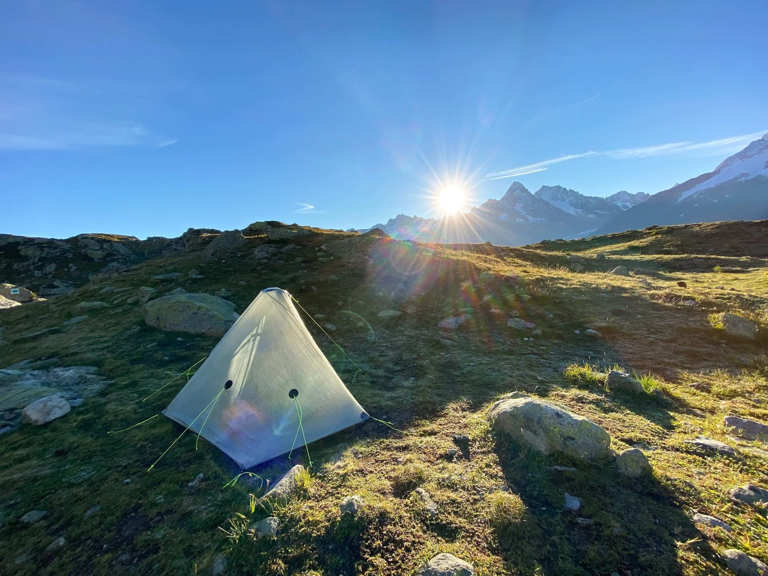
The official TMB stage no. 9 described in guide books runs from Trient to Tré Le Champ, but all the above mentioned points of interest can be used to either shorten or lengthen this stage according to your preferences. From Tré Le Champ, the trail leading up to Lacs de Chéserys and Refuge Lac Blanc is part of a variant route of the TMB, which requires the use of metal ladders and handrails to be climbed. However, in case of good weather and if you don’t suffer from extreme fear of heights, I highly recommend to take this route. Lacs de Chéserys is the most beautiful wildcamp location I have ever seen, where hikers can enjoy a spectacular sunrise, with the Mont Blanc mountains reflecting on the calm water of the lake.
MEMORIES
I woke up in the morning to the sound of cow bells… I was nervous and excited at the same time, but I tried to keep calm and to face the zigzag climb through pinetree forests, up to Col de Balme, with a slow and steady pace. At the refuge du Col de Balme, I took a break to dry my tent, and shared a soda with other TMB hikers. We then crossed the “imaginary“ border into France and hiked together to Tré Le Champ, where they stopped and set up camp at the charming Auberge La Boerne. I took the chance for another short break and enjoyed an amazing blueberry pie, before starting my climb to Lacs de Chéserys. On my way up I got to know Andrea and we decided to set up our tents by the lake and spend the evening together… and what an evening! As the sun was going down, a magical and quiet athmosphere surrounded the lake, as mountain goats approached the wildcamp site.
STAGE 2: Lacs de Chéserys (variant) - La Flégère - Les Houches
Distance: 20 km
Elevation Gain: 700 m
Elevation Loss: 2000 m
Walking Time: 8h
POINTS OF INTEREST
Lacs de Chéserys (wildcamping) - 0min
Refuge Lac Blanc (refuge) - 30min
La Flégère (refuge with camping) - 1h 45min
Le Brévent (bar, cablecar) - 5h 30min
Refuge de Bellachat (refuge) - 6h
Les Houches (hotels and camping) - 8h
IMPORTANT REMARKS
Guide books divide this stage into two official TMB stages, the first from Tré Le Champ to La Flégère (stage no. 10), and the second from La Flégère to Les Houches (stage no. 11). All the above mentioned points of interest can be used to either shorten or lengthen this stage according to your preferences. A tough climb is ahead of you, so I highly recommend to fill your water bottles at La Flégère or at the cablecar station before starting the ascent to Le Brévent. Shortly before reaching the top of Le Brévent, you will encounter two metal ladders to help you climbing a short section, but the toughest part of this stage is for sure the steep and never-ending descent from Le Brévent to Les Houches.
MEMORIES
The sunrise at Lacs de Chéserys was the most spectacular I have ever witnessed in my life… I let the picture speak for it! It took me 1 hour until I decided to leave camp and start climbing to Refuge Lac Blanc, where I had a good morning coffee and dried my tent. I had a tough time keeping my eyes on the trail for the whole section to La Flégère, as I couldn’t stop gazing at the amazing views on the Mont Blanc. When I reached the top of Le Brévent, my legs were already tired and the descent to Les Houches felt never-ending… one step at a time, I finally made it and, after a stop at the supermaket and a good dinner at a restaurant, I enjoyed a cozy night in a Chalet.
STAGE 3: Les Houches - Les Contamines
Distance: 18 km
Elevation Gain: 1000 m
Elevation Loss: 850 m
Walking Time: 5h 30min
POINTS OF INTEREST
Les Houches (hotels and camping) - 0min
Col de Voza (hotel) - 2h 30min
Chalet du Fioux (refuge) - 2h 40min
Bionnassay (refuge) - 3h
Les Contamines (hotels, camping) - 5h 30min
IMPORTANT REMARKS
This is the official stage no. 1 of the TMB. It is an easy stage running at lower altitudes, involving more road-walking than any other stage. An alternative and tougher route to Les Contamines, described in the Variants section, could be hiked in case of good weather by those who are looking for more dramatic and magnificent views.
MEMORIES
When I hiked the TMB, I was applying for jobs in Switzerland since months without any success. During this day, I was expecting a call from a company I applied to, so I decided to hike the official easy stage instead of the tougher variant, to increase chances of having good phone coverage. However, the call I received only delivered bad news, once again. I tried not to think about it anymore, but my mood remained grumpy for most of the day. When I reached Les Contamines, I set up my tent at the camping ground, cooked my own dinner, and went straight to bed.
STAGE 4: Les Contamines - Les Chapieux
Distance: 19 km
Elevation Gain: 1350 m
Elevation Loss: 950 m
Walking Time: 7h 30min
POINTS OF INTEREST
Les Contamines (hotels, camping) - 0min
Refuge Nant Borrant (refuge) - 1h 30min
Refuge de la Balme (refuge) - 2h 15min
Refuge de la Croix du Bonhomme (refuge) - 5h
Les Chapieux (refuge, free camping) - 7h 30min
IMPORTANT REMARKS
This is the official stage no. 2 of the TMB and is more challenging than the previous stage. At Les Chapieux, phone coverage is not present al all, but wifi could be purchased at the pizzeria for 30 minutes at a time. In good weather conditions, hikers could take an alternative route towards the end of this stage, described in the Variants section. This variant skips the descent to Les Chapieux and leads hikers further upvalley to Refuge des Mottets, hence skipping the first part of stage no. 3.
MEMORIES
My mood was finally improving during the ascent! I stopped for a nice second breakfast at the Refuge de la Balme, where I played with a friendly puppy. As I reached Col de la Balme, I was suddenly surrounded by sheep and the views became once again stunning. After having an omelette at the Refuge de la Croix du Bonhomme, I started the descent towards the end of the stage. I arrived in the afternoon at Les Chapieux, where I could pitch my tent for free and taste pizza at the bar/restaurant.
STAGE 5: Les Chapieux - Rifugio Elisabetta - Val Veny (variant)
Distance: 21 km
Elevation Gain: 1100 m
Elevation Loss: 700 m
Walking Time: 7h
POINTS OF INTEREST
Les Chapieux (refuge, free camping) - 0min
Refuge des Mottets (refuge) - 2h
Col de la Seigne - FR / IT border - 3h 30min
Rifugio Elisabetta (refuge) - 5h
Lac Combal (refuge) - 5h 45min
Val Veny (refuge, campings) - 7h
IMPORTANT REMARKS
The official TMB stage no. 3 described in guide books runs from Les Chapieux to Rifugio Elisabetta. The stage I hiked is therefore longer and includes a part of the official stage no. 4 until Lac Combal. Since I wanted to spend a night at a camping, I took a variant route leading down to Val Veny, therefore skipping the official section of the TMB from Lac Combal to Courmayeur.
MEMORIES
This was my favorite stage of the TMB! After refilling my water bottles at Refuge des Mottets, I started climbing towards Col de la Seigne, surrounded by fog. As I reached the top, I had goosebumps… the fog suddenly vanished and I felt like a superhero while crossing into Italy and flying down the valley. I stopped for an amazing lunch at Rifugio Elisabetta and, as I later arrived at Lac Combal, I decided to go off trail down to Val Veny. This decision of mine was just based on instinct and belly feelings, as I heard good things about a camping place in the valley and I was looking forward to spending my night there! The evening was indeed magical, as fellow hikers gathered around a bonfire, sharing anectodes about the TMB experience and chatting about future dreams.
STAGE 6: Val Veny - Courmayeur (bus) - Rifugio Bertone
Distance: 4.5 km
Elevation Gain: 800 m
Elevation Loss: 0 m
Walking Time: 2h
POINTS OF INTEREST
Val Veny (refuge, campings) - 0min
Courmayeur (hotels) - 20min (by bus) or 1h 20min (walking)
Rifugio Bertone (refuge) - 2h (from Courmayeur)
IMPORTANT REMARKS
The official TMB stage no. 4 described in guide books runs from Rifugio Elisabetta to Courmayeur. However, as I stopped my previous day at a camping in Val Veny, I kind of skipped this stage and catched a bus to Courmayeur instead. I then climbed up to Rifugio Bertone, therefore hiking the first section of the official TMB stage no. 5.
MEMORIES
As I woke up in the morning and looked at my reflection in the mirror of the toilets, I could not recognize my face… it was so swollen, it looked like I aged 50 years in one night ahah! I felt super tired, and therefore decided to catch a bus to Courmayeur instead of walking. Waving goodbye to my new trail friends met at the camping place was hard, but I tried to keep smiling and to look forward to the experience that was still ahead of me. In Courmayeur, I met another group of hikers and stopped for a pizza. It was then time to get back to the trail, and I started climbing to Rifugio Bertone with a full stomach and a slice of pizza in my backpack. I stayed in a cozy private room at Rifugio Bertone, where I shared a friendly dinner with other TMB hikers.
STAGE 7: Rifugio Bertone - Rifugio Bonatti - La Fouly
Distance: 27 km
Elevation Gain: 1200 m
Elevation Loss: 1600 m
Walking Time: 8h 45min
POINTS OF INTEREST
Rifugio Bertone (refuge) - 0min
Rifugio Bonatti (refuge) - 2h 30min
Chalet Val Ferret (refuge) - 4h
Rifugio Elena (refuge) - 4h 45min
Grand Col Ferret - IT / CH border - 6h 30min
Alpage de la Peule (refuge) - 7h 15min
La Fouly (hotels, camping) - 8h 45min
IMPORTANT REMARKS
This stage combines the second half of the official TMB stage no. 5, from Rifugio Bertone to Rifugio Bonatti, and the whole official stage no. 6, which runs from Rifugio Bonatti to La Fouly. The Gran Col Ferret marks the last border crossing of the Tour du Mont Blanc, from Italy to Switzerland.
MEMORIES
This was a special day, as I was looking forward to crossing the border between Italy and Switzerland… it felt like coming back home to me! Rifugio Elena was closed, probably due to COVID, so I had a sandwich and started climbing up to Grand Col Ferret. As I reached the top, once again I had goosebumps and felt invincible… the landscapes of Swiss green pastures were familiar to me and made me feel at home. In La Fouly, I pitched my tent at the camping ground and ate all the food I accumulated in my backpack over the previous days, including the pizza slice from Courmayeur ahah!
STAGE 8: La Fouly - Champex Lac - Relais d’Arpette (variant)
Distance: 18 km
Elevation Gain: 600 m
Elevation Loss: 600 m
Walking Time: 5h
POINTS OF INTEREST
La Fouly (hotels, camping) - 0min
Praz de Fort (restaurant) - 2h
Issert (restaurant) - 2h 30min
Champex Lac (hotels, camping) - 4h 15min
Relais d’Arpette (refuge with camping) - 5h
IMPORTANT REMARKS
The official TMB stage no. 7 described in guide books runs from La Fouly to Champex Lac. This is the easiest stage of the TMB, as there are no passes to cross and the trail leads hikers through gentle paths along a green valley. After checking the weather forecast, I decided to tackle a variant route through the Fenêtre d’Arpette the next day, described in the Variants section below. I therefore continued hiking from Champex Lac to the Relais d’Arpette, to shorten the strenuous stage of the next day.
MEMORIES
Since I knew this stage was easy in terms of effort, I decided to take my time, have more breaks, walk slower and enjoy the nature surrounding me. As I arrived in Champex Lac, I first stopped for coffee and pie at a bar along the lake, and then resupplied for food at the supermarket. I initially planned to stay at the camping of Champex Lac, but I decided last minute to continue hiking to the Relais d’Arpette, in order to get closer to the pass I wanted to tackle the next day, the Fenêtre d’Arpette. At the Relais d’Arpette, I shared a lovely dinner of cheese fondue with my new trail friends, and we decided to tackle the Fenêtre d’Arpette together the next day.
STAGE 9: Relais d’Arpette - Fenêtre d’Arpette (variant) - Col de La Forclaz
Distance: 14.5 km
Elevation Gain: 1100 m
Elevation Loss: 1400 m
Walking Time: 6h
POINTS OF INTEREST
Relais d’Arpette (refuge with camping) - 0min
Fenêtre d’Arpette (mountain pass) - 3h 15min
Chalet du Glacier (bar) - 5h 15min
Col de La Forclaz (hotel with camping) - 6h
IMPORTANT REMARKS
The official TMB stage no. 8 described in guide books runs from Champex Lac to Trient, and follows a “bovine” route at lower altitudes. The stage I hiked is a variant and highly spectacular route, described in the Variants section below, leading hikers up to the high mountain pass of the Fenêtre d’Arpette. I recommend to hike this variant ONLY with good weather, as both the ascent and descent are very steep and stony. With bad weather, the path could be difficult to follow, and could become very slippery.
MEMORIES
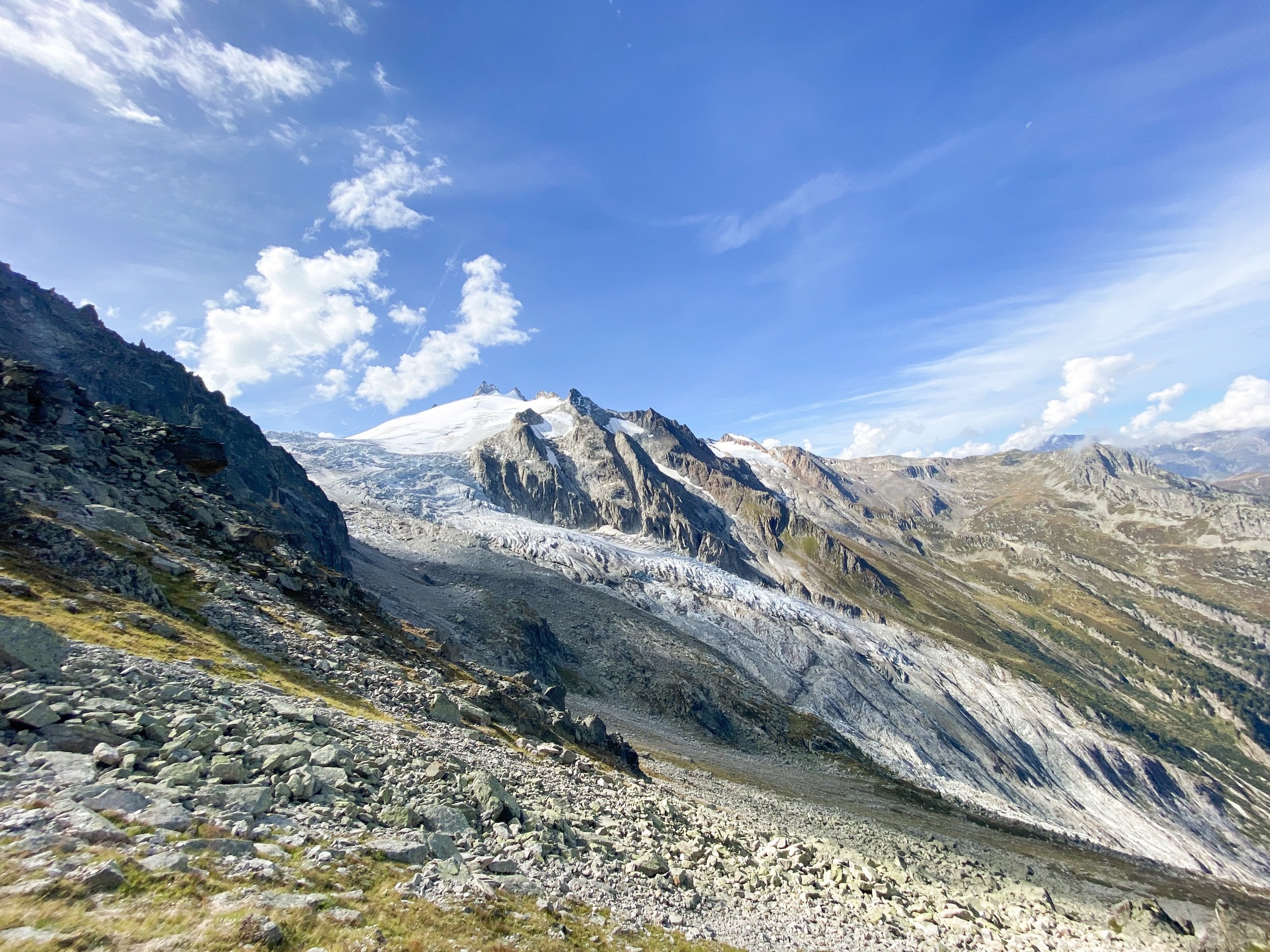
I was very glad to share the incredible experience of climbing up to the Fenêtre d’Arpette with my trail friends Pieter and Nico, the coolest brothers on the TMB. We climbed slowly and with a steady pace, reaching the summit at around lunch time… words cannot fully describe how I felt when we took our “victory“ picture! I suddenly felt so emotional and proud of myself. The views were stunning during the whole stage, and I couldn’t stop gazing at the majestic glacier on the other side of the pass. Shortly before reaching the Chalet du Glacier, I lost focus while descending the never-ending zigzag trail… and UUUPS! I slipped… slipped and fell… slipped and fell off trail… slipped, fell off trail and started rolling down the slope like a funny panda… I instinctively grabbed whatever I could feel below my hands to stop the fall. Luckily, nothing worse than a small scratch on my knee happened and I could easily climb up again with shaking legs, but gosh I got scared! As we arrived at Col de La Forclaz, I reunited with Chris, a Swiss guy I met on the very first day. I shared a last beer together with my trail friends, and had to hold back my tears as I waved goodbye while catching the bus towards home.
Walking Direction
The circular loop of the Tour du Mont Blanc, as any other thru hike, can be walked in both directions, clockwise or anti-clockwise. Hikers usually choose to start their adventure from Les Houces, in France, and walk anti-clockwise, as indicated by the official guide books. However, walking clockwise would suit hikers who are looking for more solitude and peace. If you want to avoid the crowds, I would advise to walk in a clockwise direction, starting at Champex Lac (Switzerland). In this way, you will start the TMB with an easy stage and you’ll be able to enjoy quiet mornings and afternoons on trail, while crossing the large hikers’s bubble going in the opposite direction at the middle of each stage.
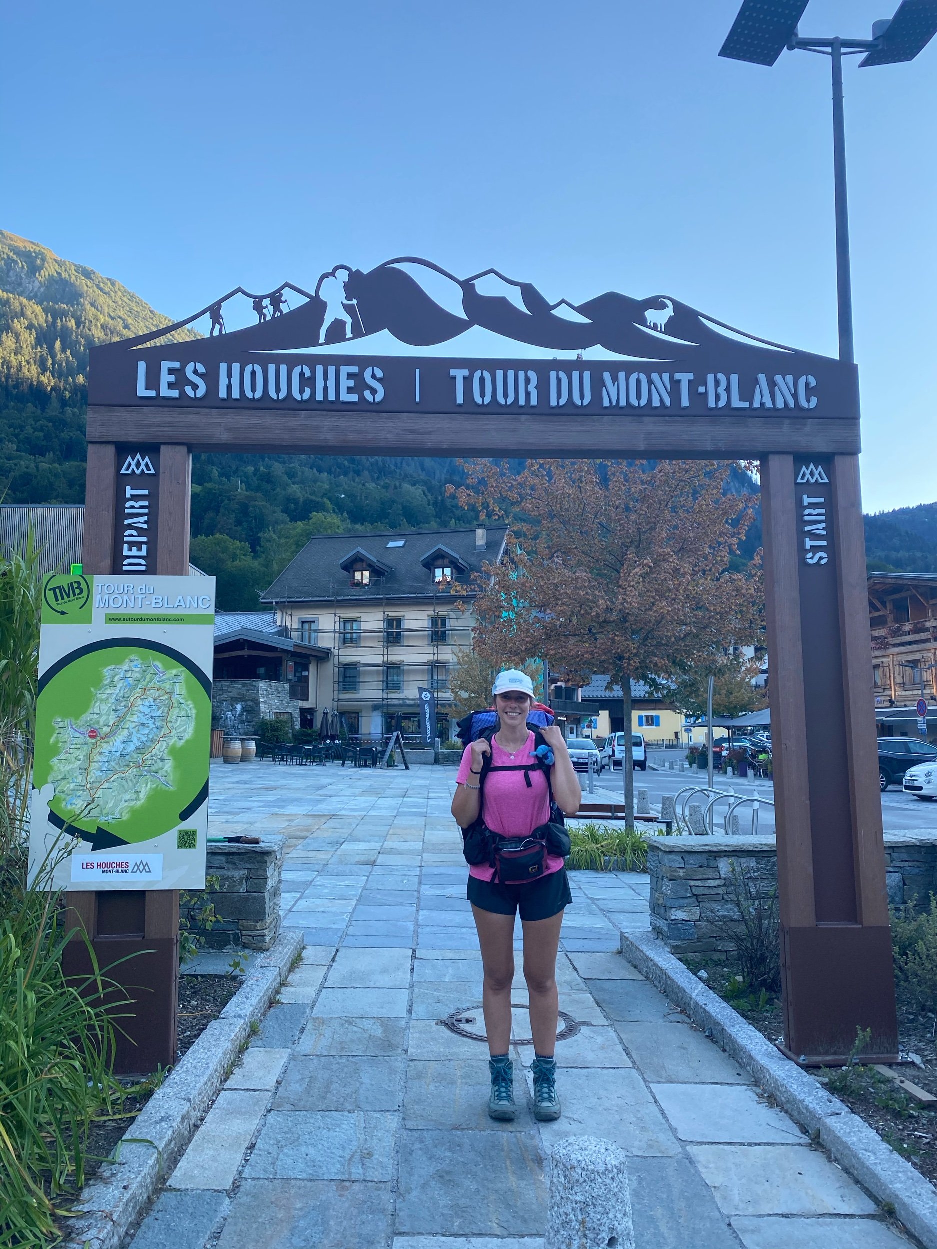
I started and finished my TMB adventure at Col de La Forclaz, in Switzerland. I hiked in the classic anti-clockwise direction and I enjoyed it! However, since I hiked the TMB in 2020 and COVID restrictions were in place at that time, the trail was not over-crowded.
Alternative Start Points
As the TMB is a circular loop trail, the beauty of it is that you don’t need to start your adventure in Les Houches, close to Chamonix (the official start and end point), even though this would be the easiest place to reach if you are flying to Geneva Airport. These are the different places that can be reached by public transports and from which the trail can be accessed:
Chamonix (FRANCE)
To reach the trail from Chamoix, hikers can decide whether to take a bus ride to Les Houches, or to take the Cablecar up to Le Brévent.
Les Contamines (FRANCE)
This town lies directly on trail.
Courmayeur (ITALY)
This town lies directly on trail.
Champex Lac (SWITZERLAND)
This town lies directly on trail.
Col de La Forclaz or Trient (SWITZERLAND)
Col de La Forclaz was my chosen starting point, a pass that is reached by bus and lies just above the town of Trient.
Variants
There are plenty of variants along the TMB, deviating from the official stages and running mostly on higher levels. Here below you can find a list of all the stages including some variants. The stage number was taken from Cicerone’s guide book, which officially divides the TMB into a total of 11 stages.
LOW LEVEL VARIANTS
In case of bad weather, lower variants are present in the following stages:
Stage 4 (Rifugio Elisabetta - Val Veny - Courmayeur): I hiked part of this variant and stopped at a camping in Val Veny for the night. From there, I catched a bus to Courmayeur the next day.
HIGH LEVEL VARIANTS
Higher variants provide more scenic views and are recommended in case of good weather and a good fitness level. They are present in the following stages:
Stage 1 (Les Houches - Refuge de Miage - Les Contamines): I did not hike this variant, but I recommend it in case of good weather!
Stage 2 (Les Contamines - Croix du Bonhomme - Col des Fours - Refuge des Mottets): this variant allows to skip the stop at La Fouly and to already hike the first part of stage no. 3.
Stage 5 (Courmayeur - Rifugio Bertone - Mont de la Saxe - Rifugio Bonatti): I did not hike this variant, as the views from Rifugio Bertone to Rifugio Bonatti were already quite spectacular on the official path.
Stage 8 (Champex Lac - Fenêtre d’Arpette - Trient): this is the hardest variant on the TMB, I hiked it and I would highly recommend it in case of good weather!
Stage 10 (Tré le Champ - Lacs de Chéserys - Refuge Lac Blanc - Refuge La Flégère): I hiked this variant and wildcamped at Lacs de Chéserys, and omg… the views were out of this world!
Trail Map and GPX File
Here you can find a map that I customized using AllTrails, showing an overview of my stages and the possible variants along the TMB. In case the view of the map is not optimal, you can try to re-select the display mode. You can click on the first map title to head to the AllTrails website, where all the waypoints are described.
Additionally, here you can download the GPX file that I used on the trail for my navigation device.

