GR20 | OUR STAGES
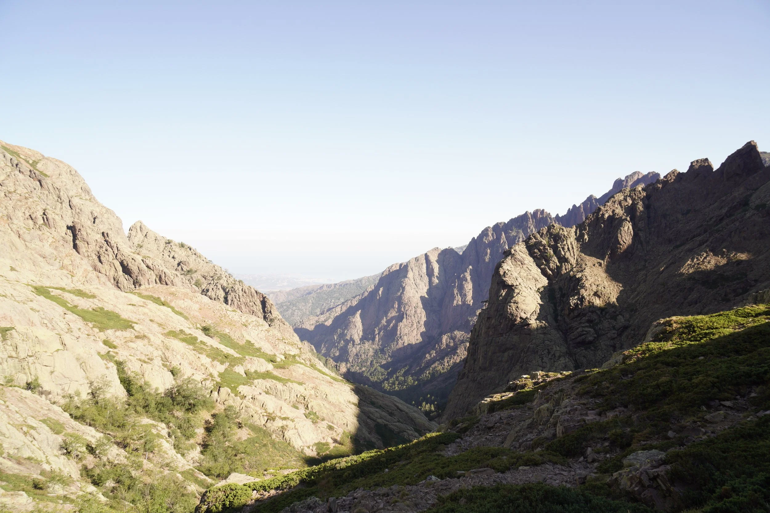
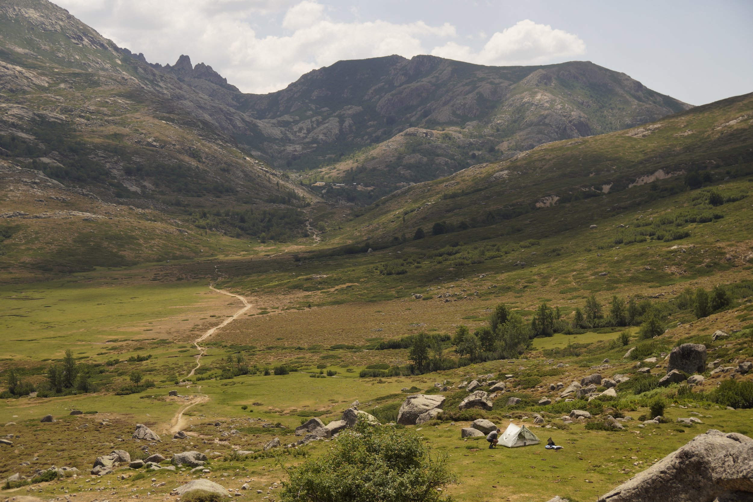
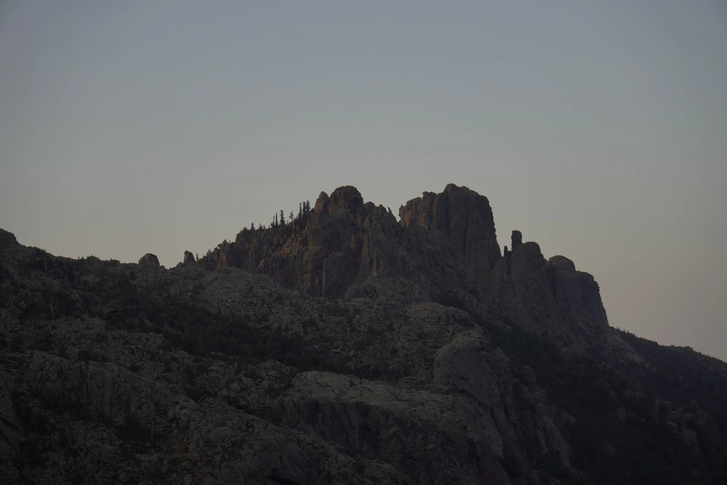
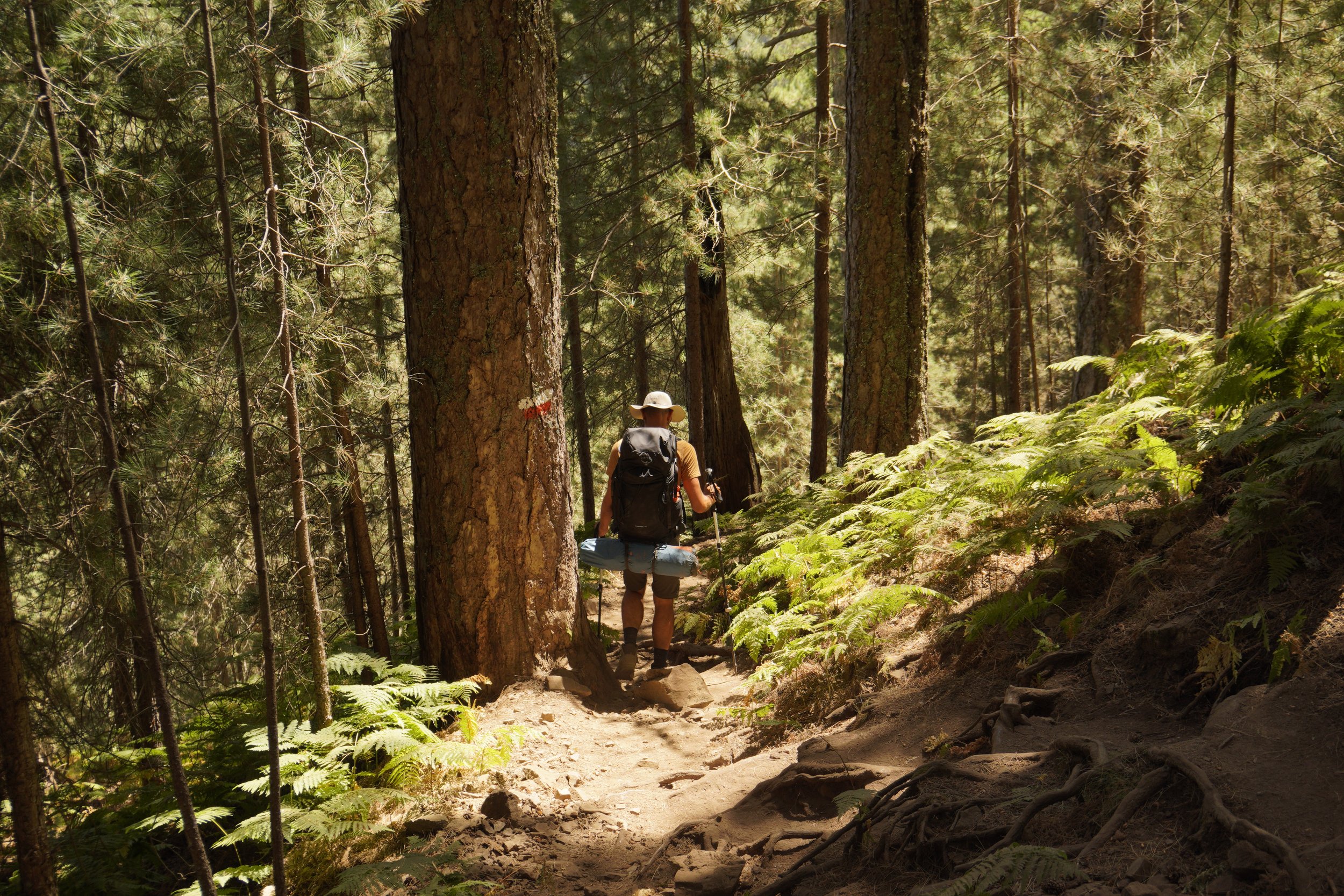
The GR20 spans between Calenzana and Conca, crossing the town of Vizzavona in the middle. Vizzavona therefore divides the trail into two sections, the northern and the southern, allowing hikers to reach or leave the trail and to hike only half of it. We thru hiked the whole GR20 and, because of its spectacular landscapes, we fell in love with both sections.
On average, hikers usually take between 12 and 16 days to complete this trekking, depending on fitness level and pace.
Here you’ll find a description of the stages we hiked along the GR20. Since we strongly believe in the HYOH (Hike Your Own Hike) principle, we also provide more information about alternative start points, thru hike direction and possible variants along the trail.
The North
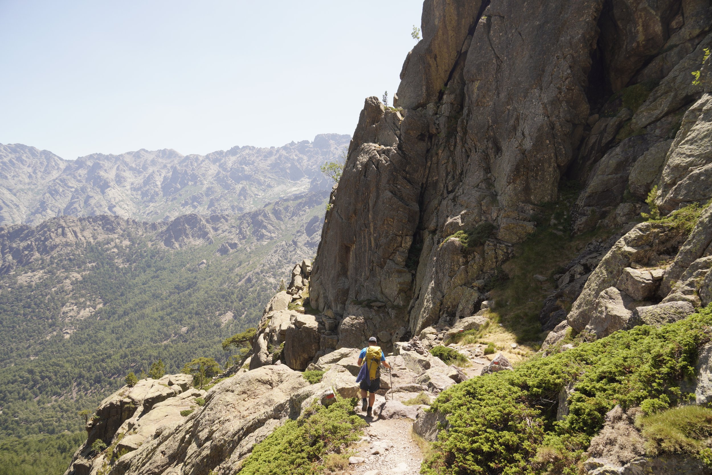
The northern section of the GR20, from Calenzana to Vizzavona, leads hikers high up into the majestic and rugged mountains of Corsica. This section is the most demanding in terms of effort, elevation gain and technical terrain. However, trust us, all the struggles are quickly compensated with an epic scenery, giving goosebumps and providing an invincible feeling when reaching the highest point of each stage.
The South
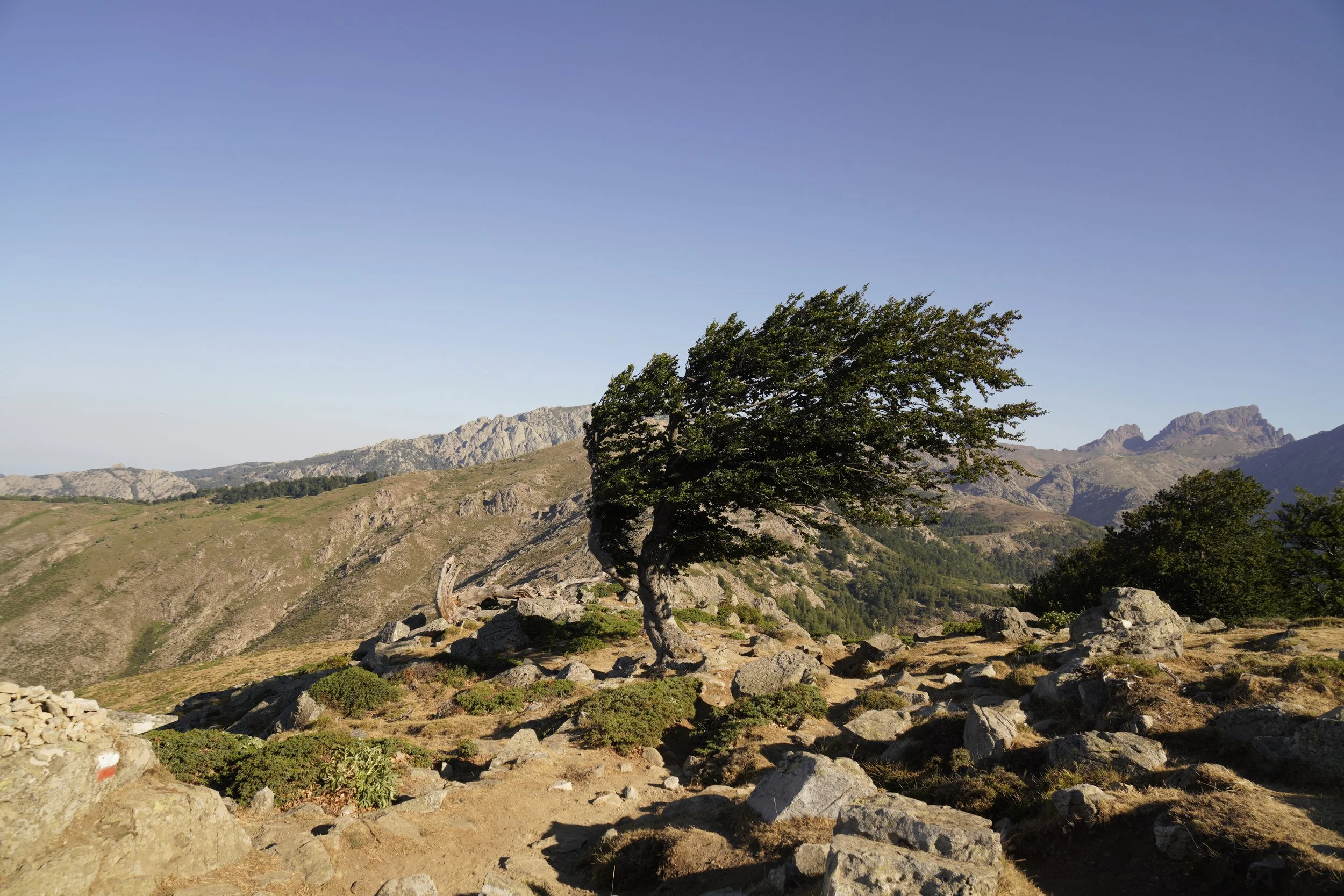
In the southern section, from Vizzavona to Conca, the stages become gentler and the scenery changes to greener mountains, valleys and forests, allowing hikers to cover longer distances. However, this section should not be underestimated, as there are still parts requiring scrambling and demanding climbs. Moreover, since the trail follows paths at lower altitudes, the higher temperatures in the South of the island could easily become a struggle.
Our GR20 Stages
Initially, we planned a thruhike of 15 stages. However, once on the GR20, we tackled the trail one day at a time, taking spontaneous decisions based on our mood and body feeling. In the end, we ended up taking some higher variants along ridges and doubling our 8th stage, therefore completing the trail in 14 days. Here you can find a short stage overview in terms of distance, elevation gain and loss. Additionally, we wrote down some important remarks for each stage and some memories for us to remember.
STAGE 1: CALENZANA - ORTU DI U PIOBBU
Distance: 14.5 km
Elevation Gain: 1500 m
Elevation Loss: 230 m
Walking Time: 6h
IMPORTANT REMARKS
The first day on the GR20 is definitely “a shock to the system“, as Paddy Dillon describes it in his guide book, because of the never-ending ascent and the encounter of the first scrambling sections. If your legs are not well trained yet, you should tackle this stage slowly, conserving the energies for what still has to come in the next days.
MEMORIES
At 04:00 in the morning, we woke up to the sound of many deflating sleeping mats, and started our adventure at around 05:30. We were super excited to start this hike and also quite nervous, because we did not know what to expect yet… were we fit enough to thru hike the GR20? Was this trekking really so tough as many say? All we had to do was to set off and start hiking, one step after the other, to discover the secrets of the rugged mountains of Corsica.
At 06:00, while climbing, I started doubting our decision: “What on earth are we doing here? Couldn’t we stay at the beach for once and relax during our holidays?“. Nevertheless, we kept going and eventually arrived at the Refuge Ortu di U Piobbu, a spectacular place overlooking the valley, where we experienced the first thunder storm in the afternoon and enjoyed our dinner at sunset.
STAGE 2: ORTU DI U PIOBBU - CARROZZU
Distance: 13 km
Elevation Gain: 780 m
Elevation Loss: 1000 m
Walking Time: 7h
IMPORTANT REMARKS
This stage is no piece of cake, especially after completing the first day on the GR20. There is a demanding climb to reach the top of a valley, Bocca Piccaia, followed by a long ridge walk, requiring scrambling at times, and a steep and stony descent to the refuge Carrozzu. Our advice is to tackle it slowly and to stay focused, as you definitely don’t want to sprain an ankle on your second day on the GR20.
MEMORIES
We started hiking at around 06:30. My legs were already scrambled during the climb and I felt a bit demotivated, as everyone else seemed fitter, faster, and was surpassing us going uphill. However, as soon as we reached the top, these feelings quickly got replaced by goosebumps. The huge and rugged mountains of the GR20 were magnificent, and the excitement gave us an extra push to tackle the ridge walk. The final descent to Refuge de Carrozzu was the worse part of the stage. The terrain was very rocky and stones felt loose under our feet, our bodies started to feel tired and the refuge seemed to never approach.
STAGE 3: CARROZZU - ASCO STAGNU
Distance: 14 km
Elevation Gain: 760 m
Elevation Loss: 650 m
Walking Time: 5.5h
IMPORTANT REMARKS
In the first section of stage 3, the climb on the Spasimata slabs definitely needs special care, especially in bad weather or after a rainy night. Some of these big and steep rock slabs are equipped with cables, although many of them are unprotected and are very slippery and dangerous if wet. However, if the rocks are dry, this section is pretty doable when going uphill. It could become tougher when approached downhill, as the steep rocks could cause discomfort and vertigo.
MEMORIES
We started hiking at around 06:30. The rocks on the Spasimata Slabs were dry, so we carefully but easily climbed them following the footsteps of the hikers in front of us. The landscapes constantly amazed us, and we were excited to reach Refuge Asco Stagnu in the afternoon. We highly recommend to have dinner at the Snack Bar of Haut Asco!
STAGE 4: ASCO STAGNU - BERGERIE DE BALLONE
Distance: 15.5 km
Elevation Gain: 1150 m
Elevation Loss: 1150 m
Walking Time: 8h
IMPORTANT REMARKS
We will be honest, stage 4 is probably the toughest stage on the GR20. The Pointe des Eboulis, the highest point on the GR20, is reached after a very long and very steep climb, requiring some quite technical scrambling along the final push. Moreover, it is important not to lose focus after reaching the top, as the terrain is very rocky and the trail follows a ridge with a quite exposed and scrambling section right before Bocca Crucetta. Scrambling is also present along the steep and rocky descent to refuge Tighjettu… long story short, STAGE 4 = SCRAMBLED (L)EGS.
There are two accommodation options at the end of the stage, Refuge Tighjettu and Bergerie de Ballone, distancing 30 minutes downhill from the refuge.
MEMORIES
We woke up slightly earlier than usual, and started hiking at around 06:00. Even though the climb to Pointe des Eboulis was relentless, steep and stony, this is one of the most scenic stages of the GR20, and one of our favorites. We enjoyed a lunch break at the highest point of the trail, overlooking Monte Cinto, and we cheered other hikers reaching the top of the climb. It was a unique and highly emotional moment. Due to the weather forecast, announcing thunder storms later in the afternoon, we decided to skip the variant to climb Monte Cinto and headed down to the Bergerie de Ballone, where we enjoyed a nice and social dinner provided by the bergerie.
STAGE 5: BERGERIE DE BALLONE - CASTEL DE VERGIO
Distance: 18 km
Elevation Gain: 800 m
Elevation Loss: 800 m
Walking Time: 6h
IMPORTANT REMARKS
Now that the first 4 toughest days of the GR20 are behind you, you can slightly rest your legs during this stage, which is definitely much easier and gentler. This day can be even broken in two, by sleeping at the Refuge de Ciottulu di I Mori. However, we advise to keep walking until Castel de Vergio, because you can enjoy amazing breaks at the natural pools down the valley. Towards the end of the stage, before passing by the Bergerie de Radule, which serves good meals and refreshing sodas, there is the possibility to make a short deviation and take a dip at the famous Cascades de Radule, which are definitely worth a visit.
MEMORIES
Since a rather easy day was ahead of us, we started hiking later than usual, at around 07:15. As we were ascending, we couldn’t help but noticing a scenic allignment of the moon on top of a mountain… it was magical.
We heard a rumor that the Refuge de Ciottulu di I Mori had recently run out of water, so we decided to skip it and descend straight down the valley after reaching Bocca di Foggiale. Because of the late start, we suffered from the heat and took many breaks during this stage, mostly at the natural pools in the valley.
We missed the deviation to the Cascades de Radule and realized it only when taking a break at the Bergerie de Radule (of course). We therefore decided to trace our steps back on the trail and visit the pools… oh it was worth the mental pain!
In the camping of Castel de Vergio, I had a hard time falling asleep, because I kept hearing the noise of wild pigs scouting for food between the tents…or was it all a dream?
STAGE 6: CASTEL DE VERGIO - MANGANU
Distance: 17.5 km
Elevation Gain: 650 m
Elevation Loss: 450 m
Walking Time: 6h
IMPORTANT REMARKS
We found this stage to be the easiest along the GR20 in terms of terrain. The path is indeed mostly levelled and Lac du Ninu is reached approximately half way through the stage. Towards the end of the day, you can also take a break at the Bergeries de Vaccaghja, before reaching Manganu, a nice refuge located close to a river.
MEMORIES
We started hiking at around 06:45 and were hit by the warm temperatures at Lac du Ninu. This is a very nice lake, surrounded by beautiful green meadows with wild horses. Flies started hunting us and we felt very dirty and smelly, as they kept flying in circles above our heads and backpacks. We took a break at the Bergeries de Vaccaghja, and spent some time playing with a cute and friendly dog. We really liked the vibes at the Refuge de Manganu, where we took a refreshing bath in the river and enjoyed a good omelette au fromage.
STAGE 7: MANGANU - PETRA PIANA
Distance: 11.5 km
Elevation Gain: 850 m
Elevation Loss: 650 m
Walking Time: 5.5h
IMPORTANT REMARKS
Stage 7 is one of the most spectacular on the GR20, but this trail does not gift beautiful landscapes just like this… another steep and rocky climb has to be achieved in order to enjoy the views, again followed by a long ridge walk requiring scrambling at times. You will however have a good rest and enjoy the icecream and fries at the Refuge de Petra Piana, which was amongst our favorites on the GR20!
MEMORIES
This was our favorite stage of the GR20. As we reached the top of the climb, Bocca a e Porte, the views were spectacular. Two twin lakes were embedded between rugged and majestic mountains, resembling craters on the moon. These landscapes accompanied us and gave us the needed excitement throughout the whole day. As we reached Refuge de Petra Piana, we found out that most of our trail friends had just decided to double the stage, and were heading to Refuge de l’Onda. We however decided to stay at Petra Piana, since we liked the vibes and the amazing location of the refuge. The fries and icecream sold at the bar also easily convinced us to stay!
STAGE 8: PETRA PIANA - VIZZAVONA
Distance: 22 km
Elevation Gain: 1100 m
Elevation Loss: 1900 m
Walking Time: 10h
IMPORTANT REMARKS
This stage could be broken down to two, by staying at the Refuge de l’Onda and heading to Vizzavona the next day. From Petra Piana to l’Onda, we decided to hike the higher variant on the crests, which requires some scrambling but is definitely beautiful. However, we heard from other hikers that the lower variant was also very nice, because there is the chance to stop at some natural pools. A neverending, steep and rocky descent awaits hikers heading to Vizzavona. Take it slowly and enjoy a break at the natural pools down the valley, the northern section of the GR20 will be soon behind you.
MEMORIES
We started hiking quite late, at 07:30, because ahead of us was only a short stage to l’Onda. We followed the yellow signs of the variant up on the crests and arrived at l’Onda quite early. At the refuge, we found out that our trail friends were motivated to keep pushing until Vizzavona. We had a quick omelette and silently took the decision to follow them, to also reunite with the hikers who had doubled the previous stage. The excitement and adrenaline helped us overcoming the stage to Vizzavona. We arrived in the evening, restocked at the camping shop, and shared hugs and beers with our friends, knowing that the next day we had to say goodbye to some of them. I also had a special and emotional encounter, as I recognized a trail friend, met on the GR221 in Mallorca earlier in the year.
STAGE 9: VIZZAVONA - E CAPANELLE
Distance: 16 km
Elevation Gain: 1000 m
Elevation Loss: 320 m
Walking Time: 5h
IMPORTANT REMARKS
After succeeding the northern section of the GR20, this stage is definitely gentler in terms of terrain, and the path is mostly in the forests. However, it felt anyway never-ending for us, because our legs were super tired from the previous day.
MEMORIES
In order to rest a bit, we slept in and started hiking only at around 07:30. We were exhausted, and took a long lunch break in the shade of a huge tree. At the Refuge E Capanelle, we spent a good time with fellow hikers and everyone ordered a much craved pizza for dinner.
STAGE 10: E CAPANELLE - PRATI
Distance: 20 km
Elevation Gain: 1000 m
Elevation Loss: 750 m
Walking Time: 6h
IMPORTANT REMARKS
We highly recommend to stop for lunch at the Refuge di Verdi (their ham sandwich was super good), but to continue afterwards until Refuge de Prati. This way, half of a long climb will be already behind you the next day. Moreover, Refuge de Prati was amongst our favorites, because of its nice location and the friendly vibes.
MEMORIES
We started hiking at around 06:45, but decided to go slowly and to take our time for a long lunch break at the Refuge di Verdi. With a full belly, we climbed up to Refuge de Prati, where we enjoyed the evening and sunset with our trail friends. At night, a very strong wind caught us by surprise, and our tent fell on us twice, since we didn’t pitch it well on the rocky terrain.
STAGE 11: PRATI - USCIOLU
Distance: 13 km
Elevation Gain: 800 m
Elevation Loss: 900 m
Walking Time: 5.5h
IMPORTANT REMARKS
This stage brings back the memories of mountainous terrain and ridges to cross… we liked it a lot! The Refuge d’Usciolu lies in a spectacular location, with views down the valley. However, we didn’t like so much its arrangement and organization, maybe because the shop was separated from everything else, or because of the heat, or because long queues were forming for using every type of infrastructure.
MEMORIES
We started hiking at around 07:00. It was a very hot day and, as we reached Refuge d’Usciolu, the temperatures were getting unbearable for us, so we decided to stop. For the first time on trail, I was in desperate need of an ice cold shower. After queueing up for 30 minutes under the burning sun, it was finally my turn… I turned on the water and, surprise… it was burning hot!
STAGE 12: USCIOLU - ASINAU
Distance: 22.5 km
Elevation Gain: 1100 m
Elevation Loss: 1300 m
Walking Time: 8h
IMPORTANT REMARKS
The first half of this stage is quite easy, and there are even two bergeries worth a stop, Bergeries de Bassetta and Bergerie d’I Croci, where we highly recommend to try either the huge omelette or the bomb lasagna. After I Croci, there is a climb up to the ridge of Monte Alcudina, and the final descent to Refuge d’Asinau also has to be tackled carefully, as it is very steep and stony.
MEMORIES
We started hiking at 06:30 and took a first breakfast break at an idyllic stream, surrounded by flowers, goats and two cute dogs. We then couldn’t resist and took a second breakfast at Bergeries de Bassetta. The sun was hot and, as we reached Bergerie d’I Croci, we stopped again for an amazing lunch… I tried the biggest and best omelette of my life, while Yannick enjoyed his huge lasagna. With an exploding belly, we somehow managed to climb to the ridge and slowly tackled the descent to Refuge d’Asinau. The views of the Aguilles de Bavella were stunning, and made us considering hiking the high variant across them the next day. We then had one of the worst nights on trail, as a strong wind kept blowing sand into our tent.
STAGE 13: ASINAU - I PALIRI
Distance: 18 km
Elevation Gain: 700 m
Elevation Loss: 1200 m
Walking Time: 6h
IMPORTANT REMARKS
This stage could be broken into two, by sleeping at the very touristic Village of Bavella. However, we recommend to hike to Refuge d’I Paliri, partly to escape the busy road of Bavella, but mostly to shorten the last stage of the GR20 the next day. Moreover, Refuge d’I Paliri was our favorite on the trail!
There are two routes from Refuge d’Asinau to Bavella, the official one staying low in the forested valley, and the higher (and more exciting) variant crossing the magnificent Aguilles de Bavella.
MEMORIES
After a windy night at Asinau, we started hiking at 07:00. The wind did not calm down and we feared its strength on the Aguilles de Bavella. With heavy hearts, we decided not to risk it and to follow the main GR20 route down the valley. As we arrived at the Village of Bavella, we had a small shock. The street was super busy with tourists, cars and trucks, and we were not used to such a noisy life anymore. We had a quick lunch at the restaurant and continued our adventure to I Paliri, together with our trail friends. We didn’t regret this choice, as we found Refuge d’I Paliri the best one on trail, in terms of vibes, camping ground and location. It was also interesting to meet and talk to hikers who just started the GR20, hiking in the opposite direction. We had the best evening and enjoyed the company of our friends, as the orange pointy rocks of the Aguilles seemed becoming on fire at sunset. Before going to bed, I took a moment to admire the moonless night sky, filled with millions of stars, thinking about how much I will soon miss this magic trail.
STAGE 14: I PALIRI - CONCA
Distance: 14.5 km
Elevation Gain: 400 m
Elevation Loss: 1150 m
Walking Time: 4.5h
IMPORTANT REMARKS
This is the last stage of the GR20, if walking in a southbound direction, and is mostly downhill until Conca. The scenery at the beginning of the stage is out of this world! In Conca, hikers can take the famous GR20 picture and enjoy a cold beer at the Bar Le Soleil Levant, where taxis can be organized for leaving the trail.
MEMORIES
We started hiking our last stage at 07:30, and couldn’t stop gazing at the amazing scenery ahead of us… the pointy rocks were so unique and reminded me of the floating mountains of Avatar. We walked in silence, listening the sound of our thoughts, being happy to conclude this adventure but also sad, because somehow we really didn’t want it to end.
In Conca, we enjoyed beers and nutella sandwiches at the bar, hugging our special friends and already organizing a reunion with them. As we hopped on a car towards Porto Vecchio, we felt lucky and priviledged to have lived such a memorable thru hike.
Alternative Start Points
CALENZANA
Calenzana, situated in the North of Corsica, is the official and most popular start point for hikers walking the GR20 from North to South.
VIZZAVONA
Vizzavona, located approximately in the middle of the GR20, divides the trail into two sections, the northern and the southern. It is therefore an important town, since it allows hikers to reach or leave the trail and to hike only half of it. It is linked by train to Ajaccio, Corte, Ponte Leccia, Bastia and Calvi.
CONCA
Conca, situated in the South of Corsica, is the official start point for hikers walking the GR20 from South to North.
North to South or South to North
The GR20, as any other thru hike, can be walked in both directions, starting either from Calenzana in the North or from Conca in the South. The traditional and most popular option amongst hikers is to start in Calenzana and to finish in Conca, therefore walking from North to South, to tackle the toughest sections of the GR20 with fresh legs and feet. Others prefer to start in Conca and hike northbound, in order to allow their body to get used to the trail, before tackling the northern section.
We hiked from North to South, and we recommend to do so. While tackling the northern section, we indeed gained confidence and got used to the technical terrain… we felt unbeatable, and we think that this unique feeling of excitement helped us finishing the trail. Moreover, we also noticed that most of the steep ascents and descents of the GR20 might be easier if tackled in this direction.
The Difficult Sections
These are the sections of the GR20 that we found most demanding, either because of steepness, exposure or technicality. The stage number was taken from Paddy Dillon’s guide book, which officially divides the GR20 into a total of 16 stages.
It is worth mentioning that a thru hike will always provide a different and unique experience to every hiker. Struggles will show up when you’ll least expect them, may it be during an easy stage which feels never-ending, or even at the end of a stage, when the refuge is already on sight but you somehow have the feeling that you are not moving forward. Maybe you’ll get sunburned, maybe you’ll develop huge blisters, but these are the struggles that will spice up the conversations with trail friends during dinner time, and that will make this trekking memorable and unique.
STAGE 2: RIDGE - DESCENT TO CARROZZU
This section of stage 2 includes a long ridge walk, requiring scrambling at times, and a steep and stony descent to the refuge Carrozzu. Our advice is to tackle it slowly and to stay focused, as you definitely don’t want to sprain an ankle on your second day on the GR20.
STAGE 3: SPASIMATA SLABS
In the first section of stage 3, the climb on the Spasimata slabs definitely needs special care, especially in bad weather or after a rainy night. Some of these big and steep rock slabs are equipped with cables, although many of them are unprotected and are very slippery and dangerous if wet. However, if the rocks are dry, this section is pretty doable when going uphill. It could however become tougher when approached downhill, as the steep rocks could cause discomfort and vertigo.
STAGE 4: ASCENT TO POINTE DES EBOULIS - RIDGE - DESCENT TO TIGHJETTU
We will be honest, stage 4 is probably the toughest stage on the GR20. The Pointe des Eboulis, the highest point on the GR20, is reached after a very long and very steep climb, requiring some quite technical scrambling along the final push. Moreover, it is important not to lose focus after reaching the top, as the terrain is very rocky and the trail follows a ridge with a quite exposed and scrambling section right before Bocca Crucetta. Scrambling is also present along the steep and rocky descent to refuge Tighjettu… long story short, STAGE 4 = SCRAMBLED (L)EGS.
STAGE 7: ASCENT TO BOCCA A E PORTE - RIDGE
Stage 7 is one of the most spectacular on the GR20, but this trail does not gift beautiful landscapes just like this… another steep and rocky climb has to be achieved in order to enjoy the views, again followed by a long ridge walk requiring scrambling at times.
STAGE 9: DESCENT TO VIZZAVONA
A neverending, steep and rocky descent awaits hikers heading to Vizzavona. Take it slowly and enjoy a break at the natural pools down the valley, the northern section of the GR20 will be soon behind you.
THE SOUTH IN GENERAL
The southern section of the GR20 is in general wrongly underestimated, as it still includes long ascents, ridge walks and steep descents.
For instance, stage 12 could be quite demanding from Refuge di Verdi to Refuge d’Usciolu. We therefore advise to lengthen stage 11 and to hike up to Refuge de Prati, so that half of a long climb will be already behind you the next day.
During stage 14, the final descent to Refuge d’Asinau also has to be tackled carefully, as it is very steep and stony.
Variants
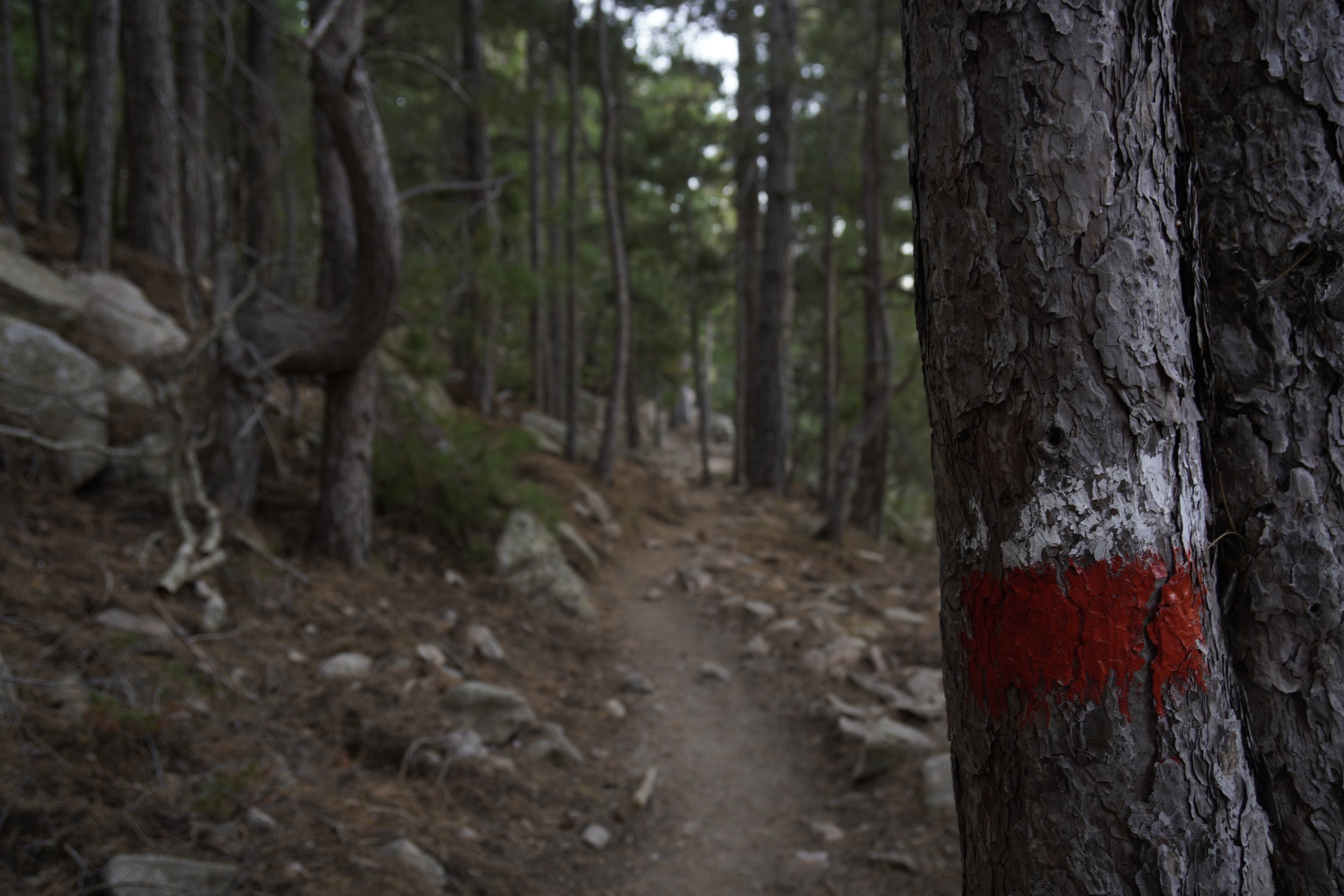
There are plenty of variants along the GR20, deviating from the official stages and running mostly on higher levels, along ridges. While the GR20 is very well marked with red and white signs, these routes are slightly more difficult to follow and are marked with signs of other colors. Here below you can find a list of all the stages including some variants. The stage number was taken from Paddy Dillon’s guide book, which officially divides the GR20 into a total of 16 stages.
LOW LEVEL VARIANTS
In case of bad weather, lower variants are present in the following stages:
Stage 1 (Calenzana - Ortu di U Piobbu)
Stage 2 (Ortu di U Piobbu - Carrozzu)
HIGH LEVEL VARIANTS
Higher variants are present in the following stages:
Stage 8 (Petra Piana - L’Onda): we hiked this variant along the ridge and we can recommend it.
Stage 9 (L’Onda - Vizzavona)
Stage 11 (E Capanelle - Bocca di Verdi)
Stage 13/14 (Usciolu - Asinau)
Stage 15 (Asinau - Bavella): we did not hike it because of strong winds, but we heard it was amazing.
ASCENT TO MONTE CINTO
There are many deviations along the GR20 for climbing the peaks of various mountains, but this is for sure worth to be mentioned. During stage 4 (Asco Stagnu - Bergerie de Ballone), it is possible to climb to the top of Monte Cinto from Pointe des Eboulis, therefore reaching the highest point of Corsica at 2651m. This deviation from the GR20 takes approximately 1h 30min in total. We decided not to hike it, because thunder storms were expected in the afternoon, but we can guess the invincible feeling of hikers when reaching the top and overlooking the island.
Trail Map and GPX File
Here you can find a map that I customized using AllTrails, showing an overview of our planned stages along the GR20. In case the view of the map is not optimal, you can try to re-select the display mode. You can click on the first map title to head to the AllTrails website, where all the waypoints are described.
Additionally, here you can download the GPX file that we used on the trail for our navigation device. It is important to note that this is an old gpx file, following the path along the Cirque de la Solitude. This path is not part of the GR20 anymore, which now follows a variant route over the shoulder of Monte Cinto.
Both map and gpx file only represent the stage overview that we planned BEFORE hitting the trail. Once on the GR20, we indeed tackled the trail one day at a time, taking spontaneous decisions based on our mood and body feeling. In the end, we ended up taking some higher variants along ridges and doubling our 8th stage, therefore completing the trail in 14 days instead of 15 as planned.


